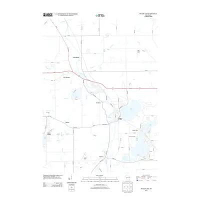
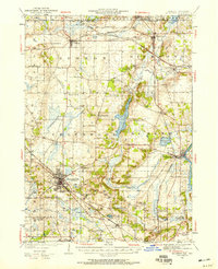
2013 Map of Silver Lake
USGS Topo · Published 2013About this map
Silver Lake and the winding Fox River anchor this topographic view of Kenosha County, where glacial water bodies define the regional geography. The landscape is characterized by a high density of named lakes, including Camp Lake, Center Lake, Lilly Lake, and Lake Mary, which have long served as focal points for residential and recreational development. Small communities such as Wilmot, Bassett, and New Munster are connected by a grid of agricultural roads, reflecting the area's transition from traditional farming to lakeside living.
Find a feature on this map
82 named features on this map. Tap any name to fly to it.
Don’t see what you’re looking for? This feature index may not catch every label — zoom into the map to look around manually.
Map Details
Editions of this 2013 Silver Lake Map
This is the sole edition of this map. No revisions or reprints were ever made.
Other maps of this area
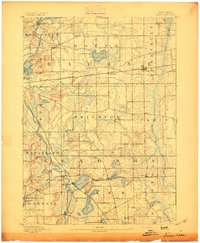
1893 · Silver Lake
USGS Topo · 1:62,500
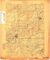
1893 · Geneva
USGS Topo · 1:62,500
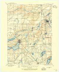
1904 · Lake Geneva
USGS Topo · 1:62,500
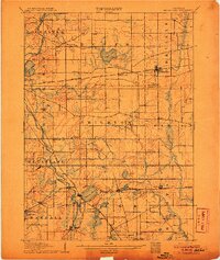
1906 · Silver Lake
USGS Topo · 1:62,500
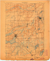
1906 · Lake Geneva
USGS Topo · 1:62,500
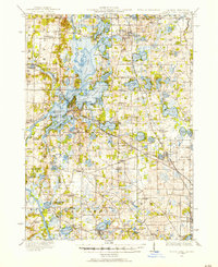
1920 · Grays Lake
USGS Topo · 1:62,500
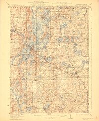
1923 · Grays Lake
USGS Topo · 1:62,500

1926 · Mc Henry
USGS Topo · 1:62,500
1944 · McHenry
USGS Topo · 1:62,500

1954 · Rockford
USGS Topo · 1:250,000