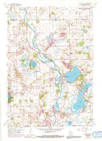
2022 Map of Silver Lake
USGS Topo · Published 2022About this map
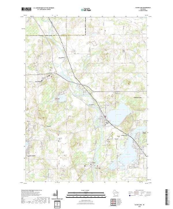
The Fox River winds through this corner of Kenosha County, anchoring a landscape defined by glacial lakes and established rural communities. Large water bodies such as Silver Lake, Camp Lake, and Lily Lake serve as the primary geographical markers, each surrounded by tight residential clusters and seasonal settlements like Fox River and Salem Lakes. The map reveals a high density of religious and genealogical sites, including the Saint Alphonsus Catholic Cem and the Wilmot Cem near the southern border.
Find a feature on this map
128 named features on this map. Tap any name to fly to it.
Don’t see what you’re looking for? This feature index may not catch every label — zoom into the map to look around manually.
Map Details
Editions of this 2022 Silver Lake Map
This is the sole edition of this map. No revisions or reprints were ever made.
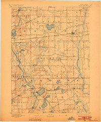
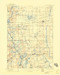
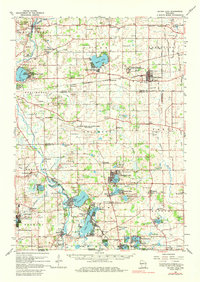
Historical Maps of Fox River Through Time
5 maps found