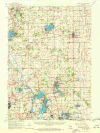
1960 Map of Silver Lake
USGS Topo · Published 1972About this map
The Richard Bong Air Force Base (Abandoned) occupies a significant footprint in the center of this Kenosha and Racine County landscape, documented here just as its original military purpose had been set aside. To the north, the Southern Wisconsin Colony and Training Sch and the village of Union Grove serve as major points of interest near the junction of the Soo Line and the Chicago Milwaukee St Paul and Pacific railroads.
Find a feature on this map
92 named features on this map. Tap any name to fly to it.
Don’t see what you’re looking for? This feature index may not catch every label — zoom into the map to look around manually.
Map Details
Editions of this 1960 Silver Lake Map
3 editions found
Other maps of this area

1891 · Bayview
USGS Topo · 1:62,500

1891 · Muskego
USGS Topo · 1:62,500

1892 · Racine
USGS Topo · 1:62,500

1892 · Eagle
USGS Topo · 1:62,500

1893 · Silver Lake
USGS Topo · 1:62,500

1893 · Geneva
USGS Topo · 1:62,500

1894 · Eagle
USGS Topo · 1:62,500

1897 · Eagle
USGS Topo · 1:62,500

1901 · Bayview
USGS Topo · 1:62,500

1901 · Muskego
USGS Topo · 1:62,500