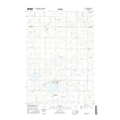
2016 Map of Silver Lake
USGS Topo · Published 2016About this map
Silver Lake serves as the focal point of this Minnesota landscape, situated just south of the border between Wright and McLeod Counties. The community is deeply rooted in its local heritage, evidenced by the clustered locations of Saint Adelbert's Catholic Cem and Saint Joseph Cem near the town center. Further west, the Bohemian Cem points toward the specific ethnic settlement patterns common in this part of the state during the late 19th and early 20th centuries.
Find a feature on this map
126 named features on this map. Tap any name to fly to it.
Don’t see what you’re looking for? This feature index may not catch every label — zoom into the map to look around manually.
Map Details
Editions of this 2016 Silver Lake Map
This is the sole edition of this map. No revisions or reprints were ever made.
Other maps of this area

1953 · New Ulm
USGS Topo · 1:250,000

1953 · Saint Cloud
USGS Topo · 1:250,000

1957 · Saint Cloud
USGS Topo · 1:250,000

1957 · New Ulm
USGS Topo · 1:250,000

1958 · New Ulm
USGS Topo · 1:250,000

1958 · Saint Cloud
USGS Topo · 1:250,000

1958 · Glencoe
USGS Topo · 1:62,500

1958 · Dassel
USGS Topo · 1:62,500

1958 · Cokato
USGS Topo · 1:62,500

1958 · Hutchinson
USGS Topo · 1:62,500