Loading...
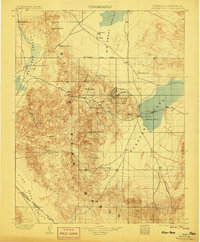
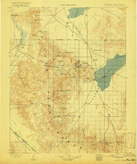
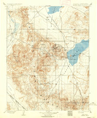
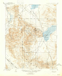
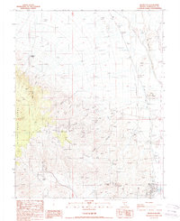
Loading map...1900 Map of Silver Peak
USGS Topo · Published 1906About this map
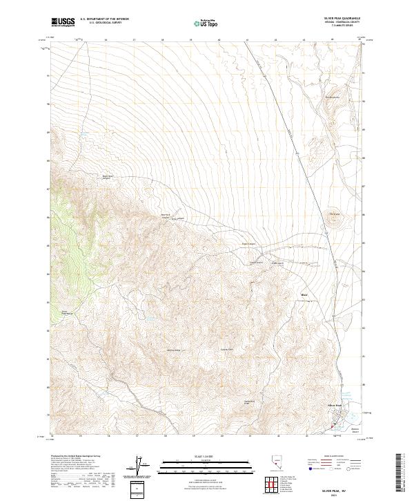
Industrial mineral extraction and rugged topography define this turn-of-the-century desert landscape where the Pacific Borax Co. Mill stands as a primary landmark in the northern Fish Lake Valley. The region is anchored by the Silver Peak Range and the high elevations of Piper Peak and Emigrant Peak, revealing the complex relief of the Great Basin during a period of intense prospecting. Water sources are critical and carefully documented, from the Salt Well in the north to family-named sites like Jeff Davis Spring.
Find a feature on this map
45 named features on this map. Tap any name to fly to it.
Don’t see what you’re looking for? This feature index may not catch every label — zoom into the map to look around manually.
Map Details
Date Portrayed1900
Date Published1906
PublisherU.S. Geological Survey
Map TypeTopographic
Scale1:125,000
Physical Dimensions16.4 x 19.9 inches
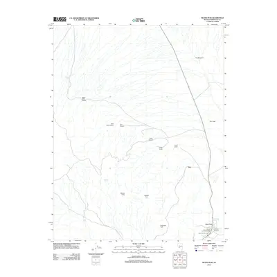
Editions of this 1900 Silver Peak Map
5 editions found

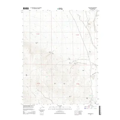
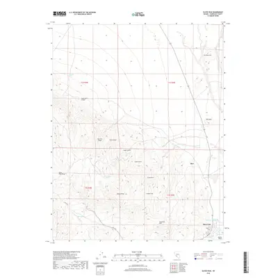
Historical Maps of Silver Peak Through Time
7 maps found

Featured Locations
Source Details
SourceU.S. Geological Survey
CopyrightPublic Domain