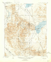
1900 Map of Silver Peak
USGS Topo · Published 1947About this map
Silver Peak Range dominates this late-19th-century survey of the high desert along the Nevada California Boundary Line. The landscape is defined by the resource extraction economy of the era, centered on the mining operations at Mineral Ridge and the Drinkwater Mine. The industrial footprint is further anchored by the Pacific Borax Co. Mill in Fish Lake Valley, connected to the wider world via the Silver Peak R. R. which terminates near the salt flats of Clayton Valley.
Find a feature on this map
47 named features on this map. Tap any name to fly to it.
Don’t see what you’re looking for? This feature index may not catch every label — zoom into the map to look around manually.
Map Details
Editions of this 1900 Silver Peak Map
5 editions found
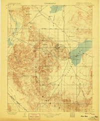
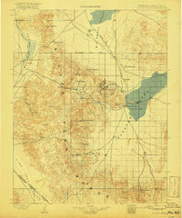
Other maps of this area

1898 · Silver Peak
USGS Topo · 1:125,000

1900 · Silver Peak
USGS Topo · 1:125,000

1907 · Tonopah
USGS Topo · 1:250,000

1908 · Lida
USGS Topo · 1:250,000

1908 · Tonopah
USGS Topo · 1:250,000

1909 · Hawthorne
USGS Topo · 1:250,000

1911 · Hawthorne
USGS Topo · 1:250,000

1913 · Bishop
USGS Topo · 1:125,000

1913 · Lida
USGS Topo · 1:250,000

1915 · Hawthorne
USGS Topo · 1:250,000