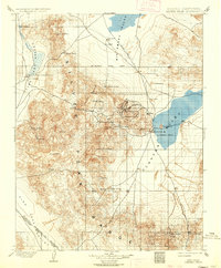
1900 Map of Silver Peak
USGS Topo · Published 1936About this map
Silver Peak Range dominates this landscape, rising between the expansive Fish Lake Valley to the west and Clayton Valley to the east. At the turn of the century, the region was defined by its mineral wealth and the infrastructure required to extract it. The settlement of Silver Peak serves as a central hub, situated near the shores of a large seasonal lake containing Goat Island and Alcatraz Island. The industrial footprint of the era is evident in the presence of the Drinkwater Mine and the Pacific Borax Co. Mill, the latter located at The Crossing. The Silver Peak R.R. provides a critical transportation link through the desert, connecting the mining operations and the town of Blair to the broader valley. Numerous water sources, such as Valcalda Spring and Coyote Hole, were vital lifelines for the scattered mining camps and travelers navigating the high desert passes like Emigrant Pass.
Find a feature on this map
44 named features on this map. Tap any name to fly to it.
Don’t see what you’re looking for? This feature index may not catch every label — zoom into the map to look around manually.
Map Details
Editions of this 1900 Silver Peak Map
5 editions found
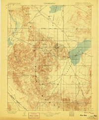
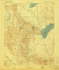
Other maps of this area

1898 · Silver Peak
USGS Topo · 1:125,000

1900 · Silver Peak
USGS Topo · 1:125,000

1907 · Tonopah
USGS Topo · 1:250,000

1908 · Lida
USGS Topo · 1:250,000

1908 · Tonopah
USGS Topo · 1:250,000

1909 · Hawthorne
USGS Topo · 1:250,000

1911 · Hawthorne
USGS Topo · 1:250,000

1913 · Bishop
USGS Topo · 1:125,000

1913 · Lida
USGS Topo · 1:250,000

1915 · Hawthorne
USGS Topo · 1:250,000