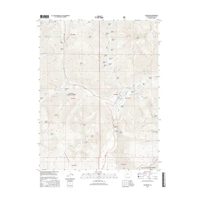
2016 Map of Silverton
USGS Topo · Published 2016About this map
Silverton serves as the focal point of this high-altitude survey, situated at the confluence of the Animas River, Mineral Cr, and Cement Cr. The town’s historical layout is visible through a grid of streets including Greene St, Blair St, and Reese St, while the Hillside Cem sits on the northern edge of the settlement. Surrounding the valley, the terrain is defined by extreme elevations within the San Juan National Forest, featuring prominent peaks such as Sultan Mtn, Anvil Mtn, and the distinctive Grand Turk.
Find a feature on this map
81 named features on this map. Tap any name to fly to it.
Don’t see what you’re looking for? This feature index may not catch every label — zoom into the map to look around manually.
Map Details
Editions of this 2016 Silverton Map
This is the sole edition of this map. No revisions or reprints were ever made.
Other maps of this area

1897 · Telluride
USGS Topo · 1:62,500

1897 · Silverton
USGS Topo · 1:62,500

1898 · Engineer Mountain
USGS Topo · 1:62,500

1900 · Engineer Mountain
USGS Topo · 1:62,500

1900 · Needle Mountains
USGS Topo · 1:62,500

1901 · Silverton
USGS Topo · 1:62,500

1902 · Needle Mountains
USGS Topo · 1:62,500

1902 · Silverton
USGS Topo · 1:62,500

1904 · Telluride
USGS Topo · 1:62,500

1908 · Engineer Mountain
USGS Topo · 1:62,500