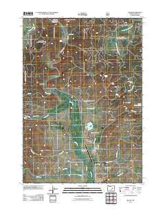
2011 Map of Silvies
USGS Topo · Published 2011About this map
Silvies River meanders through the heart of this high-elevation ranching landscape in Grant County, Oregon. The valley floor is defined by a sophisticated irrigation network including Owens Ditch and West Side Ditch, which support the historic operations at Silvies Valley Ranch and Hankins Ranch. These family-named landmarks, alongside Charlie Smith Butte and Parasol Butte, offer a look at the early 21st-century spatial organization of the region's cattle and timber economy. Cultural markers of earlier generations remain visible through the Silvies Cemetery and Hankins Cemetery, while the presence of the Maitland Landing Strip and Silvies Landing highlights the reliance on specialized transportation in this isolated terrain. The map also documents water management through Lake Pons Dam and Bennett Dam, illustrating the careful control of local resources.
Find a feature on this map
40 named features on this map. Tap any name to fly to it.
Don’t see what you’re looking for? This feature index may not catch every label — zoom into the map to look around manually.
Map Details
Editions of this 2011 Silvies Map
This is the sole edition of this map. No revisions or reprints were ever made.
Other maps of this area

1955 · Burns
USGS Topo · 1:250,000

1955 · Canyon City
USGS Topo · 1:250,000

1958 · Burns
USGS Topo · 1:250,000

1959 · Burns
USGS Topo · 1:250,000

1959 · Canyon City
USGS Topo · 1:250,000

1959 · West Myrtle Butte
USGS Topo · 1:62,500

1961 · Calamity Butte
USGS Topo · 1:62,500

1961 · Logdell
USGS Topo · 1:62,500

1961 · Seneca
USGS Topo · 1:62,500

1978 · John Day
USGS Topo · 1:100,000