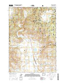
2014 Map of Silvies
USGS Topo · Published 2014About this map
Silvies River meanders through a broad valley floor where ranching and aviation meet the edge of the Malhuer National Forest. This high-desert landscape in Grant County is defined by the Silvies Valley, a basin utilized for grazing and water management, evidenced by Owens Ditch and Pronghorn Reservoir. The settlement of Silvies serves as the local hub, supported by the Ponderosa Ranch and its adjacent Ponderosa Ranch Airport.
Find a feature on this map
51 named features on this map. Tap any name to fly to it.
Don’t see what you’re looking for? This feature index may not catch every label — zoom into the map to look around manually.
Map Details
Editions of this 2014 Silvies Map
This is the sole edition of this map. No revisions or reprints were ever made.
Other maps of this area

1955 · Burns
USGS Topo · 1:250,000

1955 · Canyon City
USGS Topo · 1:250,000

1958 · Burns
USGS Topo · 1:250,000

1959 · Burns
USGS Topo · 1:250,000

1959 · Canyon City
USGS Topo · 1:250,000

1959 · West Myrtle Butte
USGS Topo · 1:62,500

1961 · Calamity Butte
USGS Topo · 1:62,500

1961 · Logdell
USGS Topo · 1:62,500

1961 · Seneca
USGS Topo · 1:62,500

1978 · John Day
USGS Topo · 1:100,000