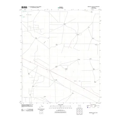
2010 Map of Simanola Valley
USGS Topo · Published 2010About this map
Simanola Valley characterizes this high plains landscape of Lea County, where ranching and energy extraction define the local economy. The terrain is marked by a network of windmills essential for livestock, including Dripper Windmill, Ninemile Windmill, and Shipper Pen Windmill, which suggest a heritage of grazing across the Four Lakes Area. In the southwest corner, the Ranger Lake Oil Field indicates the transition toward industrial land use that occurred in this region during the 20th century. Topography is defined by subtle depressions and seasonal drainages like Eightmile Draw and Middle Lake, which break the horizontal expanse of the plateau. A few family-named sites, such as Jones Ranch, provide specific points of interest for genealogists tracing the settlement patterns of eastern New Mexico before the modern era of more consolidated land management.
Find a feature on this map
28 named features on this map. Tap any name to fly to it.
Don’t see what you’re looking for? This feature index may not catch every label — zoom into the map to look around manually.
Map Details
Editions of this 2010 Simanola Valley Map
This is the sole edition of this map. No revisions or reprints were ever made.
Other maps of this area

1954 · Brownfield
USGS Topo · 1:250,000

1958 · Brownfield
USGS Topo · 1:250,000

1961 · Johnson Ranch
USGS Topo · 1:24,000

1962 · Brownfield
USGS Topo · 1:250,000

1970 · Johnson Ranch
USGS Topo · 1:24,000

1970 · Simanola Valley
USGS Topo · 1:24,000

1970 · Tatum South
USGS Topo · 1:24,000

1970 · Alston Ranch
USGS Topo · 1:24,000

1970 · Ranger Lake
USGS Topo · 1:24,000

1970 · Tatum North
USGS Topo · 1:24,000