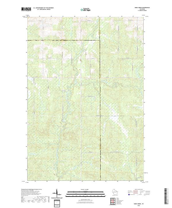
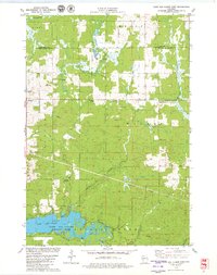
2022 Map of Simes Creek
USGS Topo · Published 2022About this map
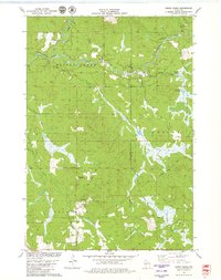
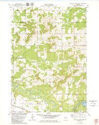
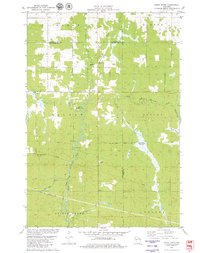
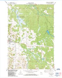
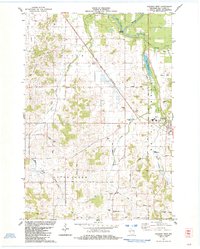
Hamilton Falls and the surrounding wetland landscape of the North Fork Eau Claire River define this region of western Wisconsin. The terrain is characterized by a dense network of watercourses, including the Wolf River, Simes Creek, and the extensive Blue Swamp. This map highlights a transition where the boundaries of Chippewa, Eau Claire, and Clark counties converge, showing a landscape managed for both timber and recreation. A specialized system of forest routes like Middle Butler Forest Rd Ln and the Simes Creek Flowage Trl provides access to the interior wetlands and tributaries. The map also traces smaller drainages such as Shambaugh Creek and Beeman Creek, which contribute to the larger Eau Claire River system, illustrating the hydrology of this forested river corridor.
Find a feature on this map
45 named features on this map. Tap any name to fly to it.
Don’t see what you’re looking for? This feature index may not catch every label — zoom into the map to look around manually.
Map Details
Editions of this 2022 Simes Creek Map
This is the sole edition of this map. No revisions or reprints were ever made.
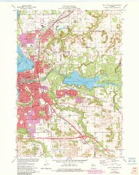
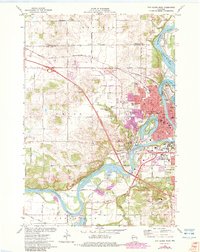
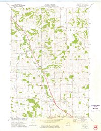
Historical Maps of Butler Through Time
22 maps found
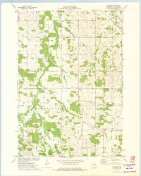
1972 Eau Claire East
Eau Claire County, WI
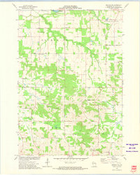
1972 Eau Claire West
Eau Claire County, WI
1973 Brackett
Eau Claire County, WI
1973 Cleghorn
Eau Claire County, WI
1973 Mondovi NE
Eau Claire County, WI
1979 Horse Creek
Eau Claire County, WI
1979 Lake Eau Claire East
Eau Claire County, WI
1979 Lake Eau Claire West
Eau Claire County, WI
1979 Simes Creek
Eau Claire County, WI
1984 Augusta East
Eau Claire County, WI
1984 Augusta West
Eau Claire County, WI
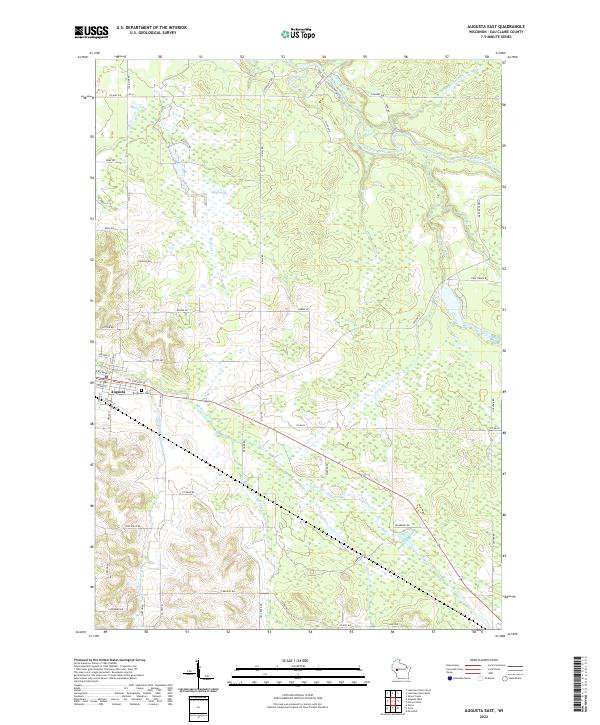
2022 Augusta East
Eau Claire County, WI
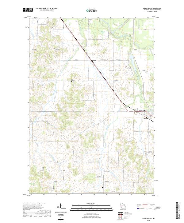
2022 Augusta West
Eau Claire County, WI
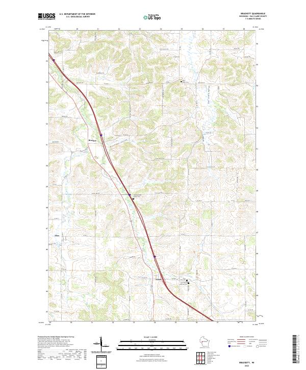
2022 Brackett
Eau Claire County, WI
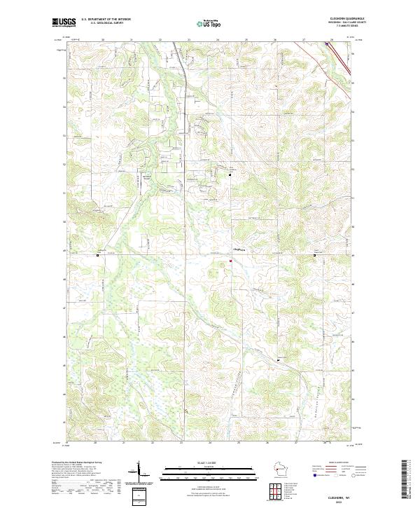
2022 Cleghorn
Eau Claire County, WI
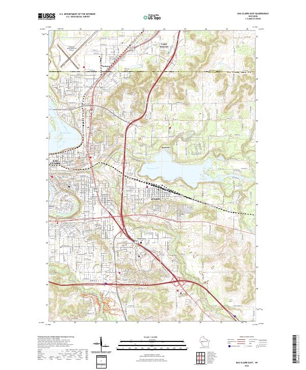
2022 Eau Claire East
Eau Claire County, WI
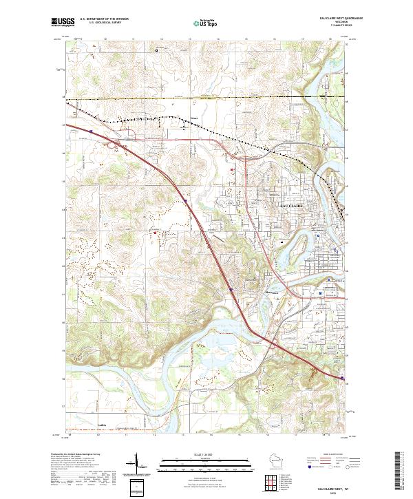
2022 Eau Claire West
Eau Claire County, WI
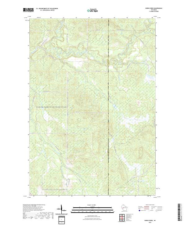
2022 Horse Creek
Eau Claire County, WI
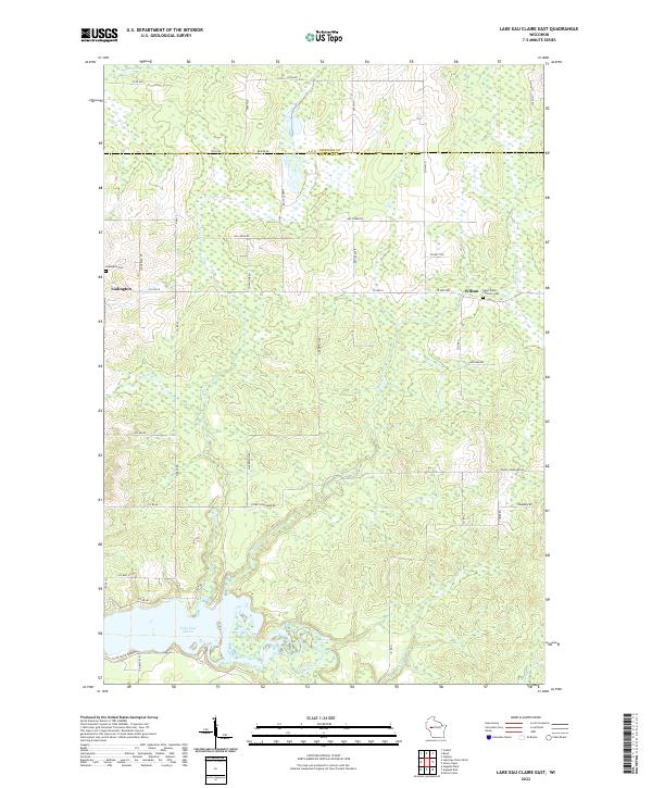
2022 Lake Eau Claire East
Eau Claire County, WI
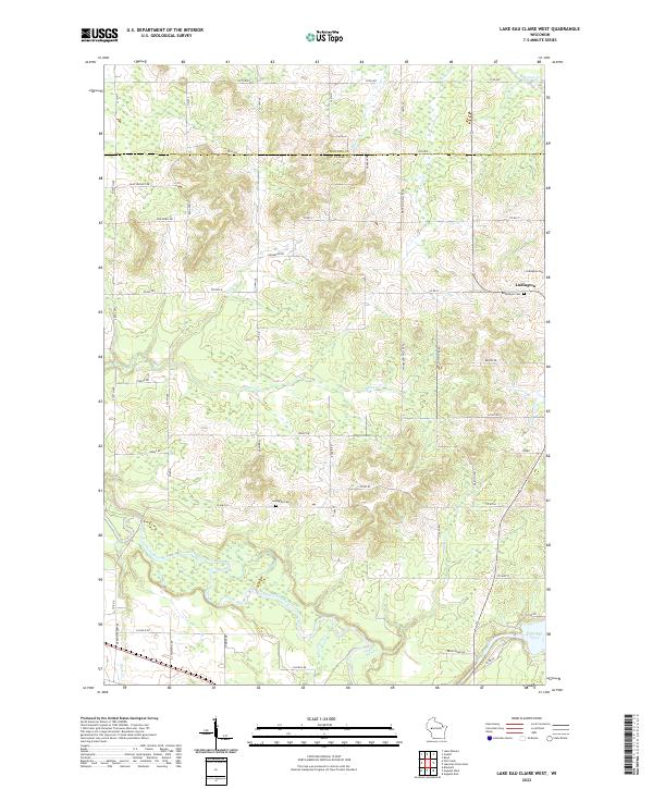
2022 Lake Eau Claire West
Eau Claire County, WI
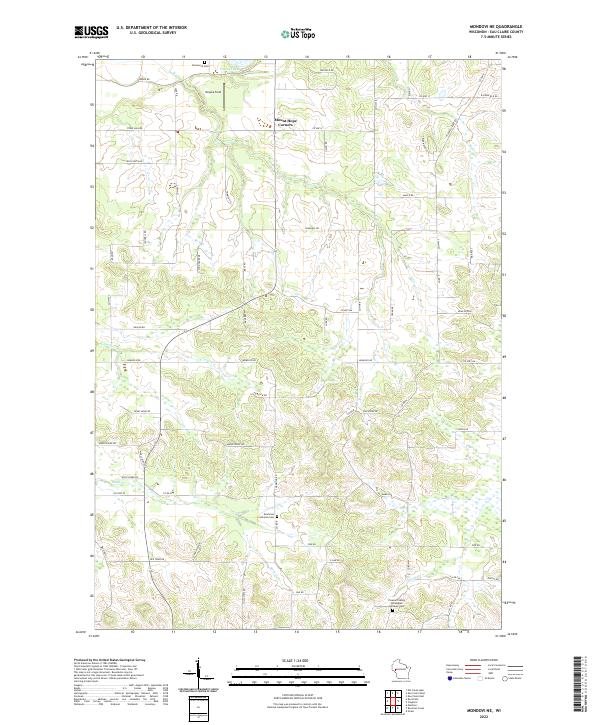
2022 Mondovi NE
Eau Claire County, WI
2022 Simes Creek
Eau Claire County, WI