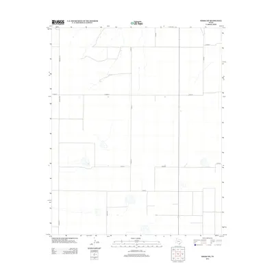
2012 Map of Simms NW
USGS Topo · Published 2012About this map
Agricultural grid lines and intermittent water sources define the high plains landscape of Deaf Smith County in the early 21st century. The surveying pattern is dominated by a systematic network of county routes, including north-south corridors like Gruhlkey Rd and Co Rd-21, which facilitate the region's vast ranching and farming operations. The terrain is notably marked by scattered depressions and ephemeral basins, characteristic of the Llano Estacado. These seasonal water features are intersected by lateral connectors such as Co Road B and Co Rd-28. The distribution of these roads and the intermittent drainage patterns reveal a landscape where transportation infrastructure is strictly dictated by the township and range section lines, providing a clear window into the modern land management of the Texas Panhandle.
Find a feature on this map
9 named features on this map. Tap any name to fly to it.
Don’t see what you’re looking for? This feature index may not catch every label — zoom into the map to look around manually.
Map Details
Editions of this 2012 Simms NW Map
This is the sole edition of this map. No revisions or reprints were ever made.
Other maps of this area

1954 · Tucumcari
USGS Topo · 1:250,000

1958 · Tucumcari
USGS Topo · 1:250,000

1966 · Boise
USGS Topo · 1:24,000

1966 · Overstreet Lake
USGS Topo · 1:24,000

1966 · Simms NW
USGS Topo · 1:24,000

1966 · Simms
USGS Topo · 1:24,000

1966 · Simms NE
USGS Topo · 1:24,000

1966 · Adrian
USGS Topo · 1:24,000

1966 · Signal Spring SE
USGS Topo · 1:24,000

1966 · Landergin
USGS Topo · 1:24,000