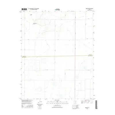
2016 Map of Simms NW
USGS Topo · Published 2016About this map
Pigpen Draw and Slaughterhouse Draw define the topography of this high plains landscape along the county line. The 2016 survey shows a sparse, agricultural environment where the boundary between Oldham Co and Deaf Smith Co is marked by an expansive grid of section roads. This particular quadrant of the Texas Panhandle is characterized by its large-scale drainage patterns and a highly organized transportation network, including Fm 290 and numerous county routes like Co Rd 18 and Co Rd 28. The map documents a modern snapshot of the region, where the primary infrastructure consists of these linear roadways serving remote ranching or farming interests. The presence of these specific draws indicates the natural water runoff paths in an otherwise flat, open territory, offering a precise record of the land's hydrology and human division at the time of publication.
Find a feature on this map
14 named features on this map. Tap any name to fly to it.
Don’t see what you’re looking for? This feature index may not catch every label — zoom into the map to look around manually.
Map Details
Editions of this 2016 Simms NW Map
This is the sole edition of this map. No revisions or reprints were ever made.
Other maps of this area

1954 · Tucumcari
USGS Topo · 1:250,000

1958 · Tucumcari
USGS Topo · 1:250,000

1966 · Boise
USGS Topo · 1:24,000

1966 · Overstreet Lake
USGS Topo · 1:24,000

1966 · Simms NW
USGS Topo · 1:24,000

1966 · Simms
USGS Topo · 1:24,000

1966 · Simms NE
USGS Topo · 1:24,000

1966 · Adrian
USGS Topo · 1:24,000

1966 · Signal Spring SE
USGS Topo · 1:24,000

1966 · Landergin
USGS Topo · 1:24,000