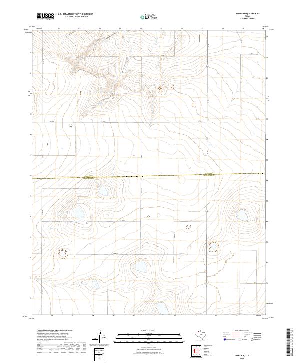
2022 Map of Simms NW
USGS Topo · Published 2022About this map
The High Plains of the Texas Panhandle are defined here by the headwaters of seasonal drainages and a strict grid of ranching roads. Crossing the southern portion of the sheet, the boundary for Oldham Co Deaf Smith Co marks the transition between these two cattle-country counties. The landscape is carved by the northern reaches of Pigpen Draw and Slaughterhouse Draw, which provide the primary topographic relief in an otherwise expansive plateau. Transportation in the region relies on a network of unpaved county routes, including Co RD 18 and Co RD B, while FM 290 serves as the main north-south artery. This survey illustrates the modern layout of large-scale landholdings where water features like these draws were historically vital for local stockmen.
Find a feature on this map
14 named features on this map. Tap any name to fly to it.
Don’t see what you’re looking for? This feature index may not catch every label — zoom into the map to look around manually.
Map Details
Editions of this 2022 Simms NW Map
This is the sole edition of this map. No revisions or reprints were ever made.
Other maps of this area

1954 · Tucumcari
USGS Topo · 1:250,000

1958 · Tucumcari
USGS Topo · 1:250,000

1966 · Boise
USGS Topo · 1:24,000

1966 · Overstreet Lake
USGS Topo · 1:24,000

1966 · Simms NW
USGS Topo · 1:24,000

1966 · Simms
USGS Topo · 1:24,000

1966 · Simms NE
USGS Topo · 1:24,000

1966 · Adrian
USGS Topo · 1:24,000

1966 · Signal Spring SE
USGS Topo · 1:24,000

1966 · Landergin
USGS Topo · 1:24,000