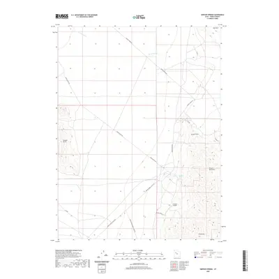
2020 Map of Simpson Springs
USGS Topo · Published 2020About this map
Simpson Springs serves as a vital hydrological marker in this arid reach of Tooele County, situated at the base of the Simpson Mountains. The area is defined by a network of long-established desert routes, including the Simpson Springs Rd and the Simpson Springs-Callao Rd, which trace the historic movement of travelers across the West Desert. The topography transitions sharply from the broad drainage of Government Cr in the north to the elevated peaks of Grassy Mtn and the striking profiles of the Simpson Buttes to the west.
Find a feature on this map
17 named features on this map. Tap any name to fly to it.
Don’t see what you’re looking for? This feature index may not catch every label — zoom into the map to look around manually.
Map Details
Editions of this 2020 Simpson Springs Map
This is the sole edition of this map. No revisions or reprints were ever made.
Other maps of this area

1885 · Sevier Desert
USGS Topo · 1:250,000

1885 · Tooele Valley
USGS Topo · 1:250,000

1953 · Tooele
USGS Topo · 1:250,000

1953 · Delta
USGS Topo · 1:250,000

1954 · Camels Back Ridge NW
USGS Topo · 1:24,000

1955 · Camels Back Ridge SW
USGS Topo · 1:24,000

1955 · Simpson Springs
USGS Topo · 1:24,000

1955 · Indian Peaks
USGS Topo · 1:24,000

1955 · Indian Springs
USGS Topo · 1:24,000

1955 · Camels Back Ridge NE
USGS Topo · 1:24,000