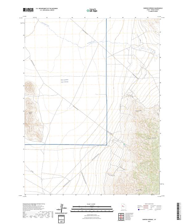
2023 Map of Simpson Springs
USGS Topo · Published 2023About this map
Simpson Springs serves as the focal point of this arid landscape, situated at the edge of the Simpson Mountains within the vastness of Tooele County. The area is defined by its strategic isolation, highlighted by the presence of the West Desert Test Center, a military reservation that dominates much of the central terrain. Transportation through this remote stretch of the Great Salt Lake Desert relies on a network of unpaved corridors including Simpson Springs Rd and Simpson Buttes Rd, which navigate the space between prominent geological landmarks such as Simpson Buttes and Simpson Point.
Find a feature on this map
14 named features on this map. Tap any name to fly to it.
Don’t see what you’re looking for? This feature index may not catch every label — zoom into the map to look around manually.
Map Details
Editions of this 2023 Simpson Springs Map
This is the sole edition of this map. No revisions or reprints were ever made.
Other maps of this area

1885 · Sevier Desert
USGS Topo · 1:250,000

1885 · Tooele Valley
USGS Topo · 1:250,000

1953 · Tooele
USGS Topo · 1:250,000

1953 · Delta
USGS Topo · 1:250,000

1954 · Camels Back Ridge NW
USGS Topo · 1:24,000

1955 · Camels Back Ridge SW
USGS Topo · 1:24,000

1955 · Simpson Springs
USGS Topo · 1:24,000

1955 · Indian Peaks
USGS Topo · 1:24,000

1955 · Indian Springs
USGS Topo · 1:24,000

1955 · Camels Back Ridge NE
USGS Topo · 1:24,000