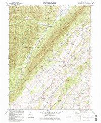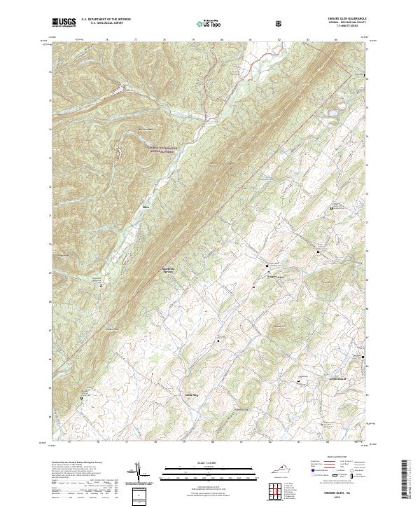
1967 Map of Singers Glen
USGS Topo · Published 1969About this map
Singers Glen and the surrounding valley floor are defined by a network of springs and small settlements in the late 1960s. The landscape transition is stark as the rolling farmland of the Shenandoah Valley, dotted with sites like Green Mount and Stultz Mill, meets the steep, forested slopes of Little North Mountain. Water is central to the area's development, evidenced by unique features such as Sparkling Springs and Tide Spring, alongside the winding path of the Shoemaker River. The survey also reveals a strong presence of rural congregations, with Gospel Hill Ch, Zion Hill Ch, and Mt Zion Ch marking significant community crossroads. West of the valley, the George Washington National Forest covers high ridges like Buck Lick Mtn, accessible through points like Hopkins Gap.
Find a feature on this map
67 named features on this map. Tap any name to fly to it.
Don’t see what you’re looking for? This feature index may not catch every label — zoom into the map to look around manually.
Map Details
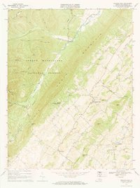
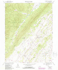
Editions of this 1967 Singers Glen Map
2 editions found
Historical Maps of Singers Glen Through Time
7 maps found