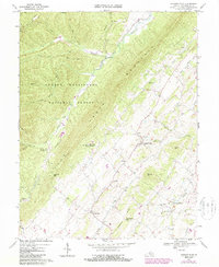
1967 Map of Singers Glen
USGS Topo · Published 1987About this map
Singers Glen serves as the focal point for this landscape where the Shenandoah Valley meets the eastern slopes of the George Washington National Forest. The geography is defined by the prominent ridge of Little North Mountain, which separates the fertile valley floor from the densely wooded terrain of Hogpen Mtn and Buck Lick Mtn. This document records a network of small rural communities and mountain gaps, such as Palos and Hopkins Gap, that historically linked these two distinct environments.
Find a feature on this map
53 named features on this map. Tap any name to fly to it.
Don’t see what you’re looking for? This feature index may not catch every label — zoom into the map to look around manually.
Map Details
Editions of this 1967 Singers Glen Map
2 editions found
Other maps of this area

1892 · Franklin
USGS Topo · 1:125,000

1892 · Woodstock
USGS Topo · 1:125,000

1892 · Harrisonburg
USGS Topo · 1:125,000

1894 · Staunton
USGS Topo · 1:125,000

1896 · Franklin
USGS Topo · 1:125,000

1922 · Fort Seybert
USGS Topo · 1:48,000

1924 · Fort Seybert
USGS Topo · 1:62,500

1941 · Harrisonburg
USGS Topo · 1:62,500

1943 · Harrisonburg
USGS Topo · 1:62,500

1944 · Parnassus
USGS Topo · 1:62,500