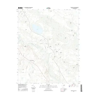
2016 Map of Singletary Lake
USGS Topo · Published 2016About this map
The Cape Fear River carves a winding path through this corner of Bladen County, defined by its complex network of elliptical Carolina bays and dense swamp drainage. High ground at Walkers Bluff overlooks the river's bend, while the interior is dominated by Singletary Lake and dozens of named wetlands including Dog Bay, Tedder Bay, and Thousand Acres Bay. These natural depressions create a distinctive landscape pattern that historically dictated the placement of small communities like Lagoon and Bladen Springs. Genealogists will find a high concentration of family burial grounds scattered across the terrain, from Atkinson Cem near the lake to Lucas Cem along Lucas Mill Creek Swamp. The map also traces local infrastructure such as Bevans Bridge and the various rural routes that connect isolated homesites in the Hunters Run and Cactus Cove areas.
Find a feature on this map
67 named features on this map. Tap any name to fly to it.
Don’t see what you’re looking for? This feature index may not catch every label — zoom into the map to look around manually.
Map Details
Editions of this 2016 Singletary Lake Map
This is the sole edition of this map. No revisions or reprints were ever made.
Other maps of this area

1953 · Florence
USGS Topo · 1:250,000

1954 · Florence
USGS Topo · 1:250,000

1954 · White Lake
USGS Topo · 1:62,500

1954 · Bolton
USGS Topo · 1:62,500

1955 · Whiteville
USGS Topo · 1:62,500

1955 · Elizabethtown
USGS Topo · 1:62,500

1982 · Elizabethtown
USGS Topo · 1:100,000
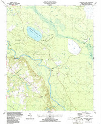
1986 · Singletary Lake
USGS Topo · 1:24,000
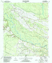
1986 · Kelly
USGS Topo · 1:24,000
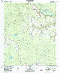
1986 · Council
USGS Topo · 1:24,000