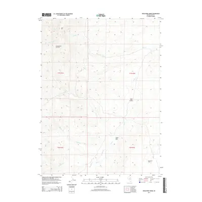
2014 Map of Singletree Creek
USGS Topo · Published 2014About this map
Independence Mountains dominate this high-altitude landscape of Elko County, where seasonal drainages carve through deep valleys and basins. The terrain is marked by prominent high points such as Lone Mtn in the north and Monument Peak to the southeast, overseeing a network of waterways including Mason Cr and Susie Cr. This area reflects the remote ranching and grazing traditions of northern Nevada, where named clearings and fields like Green Cabin Meadows and Hunter Banks Field suggest localized land use amidst the steep topography.
Find a feature on this map
17 named features on this map. Tap any name to fly to it.
Don’t see what you’re looking for? This feature index may not catch every label — zoom into the map to look around manually.
Map Details
Editions of this 2014 Singletree Creek Map
This is the sole edition of this map. No revisions or reprints were ever made.
Other maps of this area

1955 · McDermitt
USGS Topo · 1:250,000

1955 · Wells
USGS Topo · 1:250,000

1955 · Winnemucca
USGS Topo · 1:250,000

1955 · Elko
USGS Topo · 1:250,000

1958 · Winnemucca
USGS Topo · 1:250,000

1958 · Wells
USGS Topo · 1:250,000

1958 · Elko
USGS Topo · 1:250,000

1958 · Singletree Creek
USGS Topo · 1:24,000

1958 · Blue Basin
USGS Topo · 1:24,000

1958 · Doby Summit
USGS Topo · 1:24,000