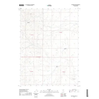
2018 Map of Singletree Creek
USGS Topo · Published 2018About this map
The Independence Mountains define the high-elevation landscape of this Elko County region, where the terrain drops away into a complex network of seasonal drainages and springs. Lone Mtn stands as a prominent landmark in the northwest, feeding Lone Mountain Creek and Coon Creek. The map documents a sparsely populated ranching and grazing territory, evidenced by features like Green Cabin Meadows and Hunter Banks Field. These locations suggest a long history of seasonal land use in the high desert basins. Water sources are critical in this environment, with the flow of Singletree Creek, Susie Creek, and Mason Creek carving through the township and range sections. To the south, Monument Peak provides a southern anchor to the topography, overlooking the headwaters of Blue Basin Creek and the remote Lang Spring.
Find a feature on this map
18 named features on this map. Tap any name to fly to it.
Don’t see what you’re looking for? This feature index may not catch every label — zoom into the map to look around manually.
Map Details
Editions of this 2018 Singletree Creek Map
This is the sole edition of this map. No revisions or reprints were ever made.
Other maps of this area

1955 · McDermitt
USGS Topo · 1:250,000

1955 · Wells
USGS Topo · 1:250,000

1955 · Winnemucca
USGS Topo · 1:250,000

1955 · Elko
USGS Topo · 1:250,000

1958 · Winnemucca
USGS Topo · 1:250,000

1958 · Wells
USGS Topo · 1:250,000

1958 · Elko
USGS Topo · 1:250,000

1958 · Singletree Creek
USGS Topo · 1:24,000

1958 · Blue Basin
USGS Topo · 1:24,000

1958 · Doby Summit
USGS Topo · 1:24,000