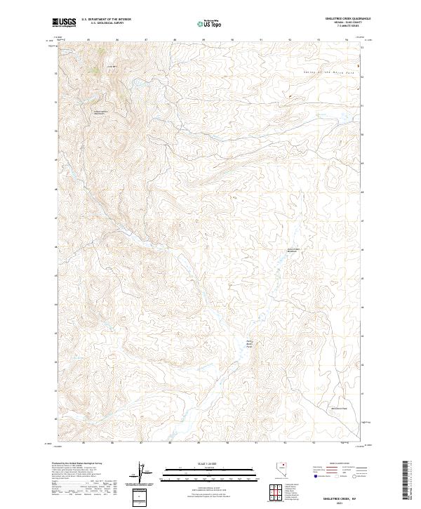
2021 Map of Singletree Creek
USGS Topo · Published 2021About this map
The Independence Mountains define the western reaches of this 2021 study, where high ridges overlook the expansive Valley of the North Fork. The landscape is a network of drainages and named valleys, characterized by the winding paths of Mason Cr and Susie Cr. These watercourses create the ecological structure for local landmarks like Green Cabin Meadows and the open flats of Hunter Banks Field. In the southern half of the quadrangle, Singletree Cr and Blue Basin Cr flow toward lower elevations, punctuated by prominent high points such as Lone Mtn and Monument Peak. The map reveals a remote ranching and grazing territory, where small water sources like Lang Spring and Cold Cr were essential for sustaining life and livestock in the arid Nevada interior.
Find a feature on this map
19 named features on this map. Tap any name to fly to it.
Don’t see what you’re looking for? This feature index may not catch every label — zoom into the map to look around manually.
Map Details
Editions of this 2021 Singletree Creek Map
This is the sole edition of this map. No revisions or reprints were ever made.
Other maps of this area

1955 · McDermitt
USGS Topo · 1:250,000

1955 · Wells
USGS Topo · 1:250,000

1955 · Winnemucca
USGS Topo · 1:250,000

1955 · Elko
USGS Topo · 1:250,000

1958 · Winnemucca
USGS Topo · 1:250,000

1958 · Wells
USGS Topo · 1:250,000

1958 · Elko
USGS Topo · 1:250,000

1958 · Singletree Creek
USGS Topo · 1:24,000

1958 · Blue Basin
USGS Topo · 1:24,000

1958 · Doby Summit
USGS Topo · 1:24,000