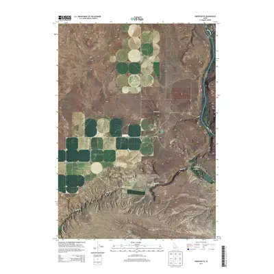
2013 Map of Sinker Butte
USGS Topo · Published 2013About this map
The Snake River carves a deep canyon through the high desert of southwest Idaho, defining the border between Owyhee and Ada counties. This landscape is dominated by the volcanic forms of Sinker Butte and Sinker Creek Butte, rising above the broad expanse of Murphy Flat. Historically significant transit routes intersect this terrain, with the Oregon Trl and the Emigrant Trl tracing the paths of early western migration across the plateau.
Find a feature on this map
21 named features on this map. Tap any name to fly to it.
Don’t see what you’re looking for? This feature index may not catch every label — zoom into the map to look around manually.
Map Details
Editions of this 2013 Sinker Butte Map
This is the sole edition of this map. No revisions or reprints were ever made.
Other maps of this area

1892 · Bisuka
USGS Topo · 1:125,000

1892 · Silver City
USGS Topo · 1:125,000

1894 · Bisuka
USGS Topo · 1:125,000

1894 · Silver City
USGS Topo · 1:125,000

1898 · Silver City
USGS Topo · 1:125,000

1947 · Wild Horse Butte
USGS Topo · 1:24,000

1948 · Castle Butte
USGS Topo · 1:24,000

1948 · Wild Horse Butte
USGS Topo · 1:24,000

1948 · Sinker Butte
USGS Topo · 1:24,000

1949 · Sinker Butte
USGS Topo · 1:24,000