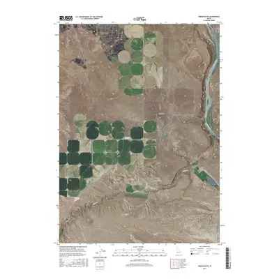
2017 Map of Sinker Butte
USGS Topo · Published 2017About this map
Sinker Butte stands as a prominent landmark overlooking the deep canyon of the Snake River, marking a landscape where the high plateaus of southwestern Idaho meet the carved riverbed. The terrain is defined by its transit history, particularly the presence of the Oregon Trl and Emigrant Trl, which cut through the sagebrush of Murphy Flat. These historic routes follow the natural topography, skirting the basalt formations of Sinker Creek Butte and crossing the drainage of Sinker Cr.
Find a feature on this map
22 named features on this map. Tap any name to fly to it.
Don’t see what you’re looking for? This feature index may not catch every label — zoom into the map to look around manually.
Map Details
Editions of this 2017 Sinker Butte Map
This is the sole edition of this map. No revisions or reprints were ever made.
Other maps of this area

1892 · Bisuka
USGS Topo · 1:125,000

1892 · Silver City
USGS Topo · 1:125,000

1894 · Bisuka
USGS Topo · 1:125,000

1894 · Silver City
USGS Topo · 1:125,000

1898 · Silver City
USGS Topo · 1:125,000

1947 · Wild Horse Butte
USGS Topo · 1:24,000

1948 · Castle Butte
USGS Topo · 1:24,000

1948 · Wild Horse Butte
USGS Topo · 1:24,000

1948 · Sinker Butte
USGS Topo · 1:24,000

1949 · Sinker Butte
USGS Topo · 1:24,000