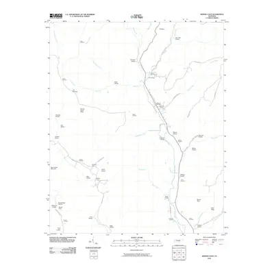
2010 Map of Sinking Cove
USGS Topo · Published 2010About this map
Sinking Cove and the high ridges of Franklin County define this southern Tennessee landscape, where a dense network of family cemeteries provides a deep genealogical record. The settlement at Los Cove and the Sherwood Post Office serve as central points for the scattered mountain hollows and coves. The terrain is marked by distinctive formations like The Narrows, Burned Stand Ridge, and Bear Hollow Mountain, which channel the drainage of Crow Creek and Dry Creek. Numerous named cemeteries, including Crownover Cemetery, Gonce Cemetery, and Willard Cemetery, are preserved across the area, often situated near the mouths of hollows or along roads like Sinking Cove Rd and Lost Cove Rd. The naming of features such as Pumplog Hollow, Custard Hollow, and Stubblefield Hollow reflects the historical occupation and agricultural use of these isolated valleys before many became part of modern conservation efforts.
Find a feature on this map
70 named features on this map. Tap any name to fly to it.
Don’t see what you’re looking for? This feature index may not catch every label — zoom into the map to look around manually.
Map Details
Editions of this 2010 Sinking Cove Map
This is the sole edition of this map. No revisions or reprints were ever made.
Other maps of this area

1886 · Stevenson
USGS Topo · 1:125,000

1888 · Scottsboro
USGS Topo · 1:125,000

1892 · Scottsboro
USGS Topo · 1:125,000

1892 · Stevenson
USGS Topo · 1:125,000

1895 · Stevenson
USGS Topo · 1:125,000

1895 · Sewanee
USGS Topo · 1:125,000

1928 · Decherd
USGS Topo · 1:62,500

1936 · Sewanee
USGS Topo · 1:24,000

1936 · Orme
USGS Topo · 1:24,000

1936 · Sinking Cove
USGS Topo · 1:24,000