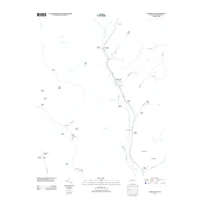
2013 Map of Sinking Cove
USGS Topo · Published 2013About this map
Sherwood and Tantallon serve as the primary hubs of activity in this Franklin County landscape, situated along the corridor formed by Crow Cr. The area is defined by its dramatic karst-like topography, where numerous coves and hollows penetrate the surrounding ridges. Most prominent among these is Sinking Cove, which gives the quadrangle its name. The settlement pattern follows the drainage of the creek, with neighborhoods like Block Row in Sherwood reflecting the local community structure.
Find a feature on this map
63 named features on this map. Tap any name to fly to it.
Don’t see what you’re looking for? This feature index may not catch every label — zoom into the map to look around manually.
Map Details
Editions of this 2013 Sinking Cove Map
This is the sole edition of this map. No revisions or reprints were ever made.
Other maps of this area

1886 · Stevenson
USGS Topo · 1:125,000

1888 · Scottsboro
USGS Topo · 1:125,000

1892 · Scottsboro
USGS Topo · 1:125,000

1892 · Stevenson
USGS Topo · 1:125,000

1895 · Stevenson
USGS Topo · 1:125,000

1895 · Sewanee
USGS Topo · 1:125,000

1928 · Decherd
USGS Topo · 1:62,500

1936 · Sewanee
USGS Topo · 1:24,000

1936 · Orme
USGS Topo · 1:24,000

1936 · Sinking Cove
USGS Topo · 1:24,000