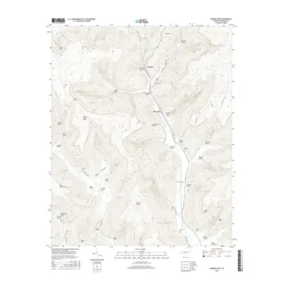
2016 Map of Sinking Cove
USGS Topo · Published 2016About this map
Crow Creek Valley serves as the primary corridor for human settlement and transport in this 2016 survey of Franklin County. The community of Sherwood is central to the valley floor, connected by a network of local roads like Sherwood Rd and Church St. To the north, the small settlement of Tantallon lies near the drainage of Rush Cr, while the namesake Sinking Cove is tucked into the southwestern slopes. The landscape is defined by the sharp transition between the valley and the surrounding Cumberland Plateau, marked by numerous hollows and ridges such as Burned Stand Ridge and Custard Hollow.
Find a feature on this map
77 named features on this map. Tap any name to fly to it.
Don’t see what you’re looking for? This feature index may not catch every label — zoom into the map to look around manually.
Map Details
Editions of this 2016 Sinking Cove Map
This is the sole edition of this map. No revisions or reprints were ever made.
Other maps of this area

1886 · Stevenson
USGS Topo · 1:125,000

1888 · Scottsboro
USGS Topo · 1:125,000

1892 · Scottsboro
USGS Topo · 1:125,000

1892 · Stevenson
USGS Topo · 1:125,000

1895 · Stevenson
USGS Topo · 1:125,000

1895 · Sewanee
USGS Topo · 1:125,000

1928 · Decherd
USGS Topo · 1:62,500

1936 · Sewanee
USGS Topo · 1:24,000

1936 · Orme
USGS Topo · 1:24,000

1936 · Sinking Cove
USGS Topo · 1:24,000