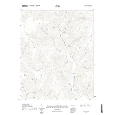
2019 Map of Sinking Cove
USGS Topo · Published 2019About this map
Crow Creek Valley cuts through the steep slopes of the Cumberland Plateau in this 2019 survey, illustrating the deep topographic divide between the valley floor and the surrounding ridges. The rural communities of Tantallon and Sherwood serve as the primary hubs in this part of Franklin County, where the landscape is defined by a dense network of hollows such as Custard Hollow and Pumplog Hollow. For those exploring local family histories, several burial grounds are scattered throughout the terrain, including Gass Cem and Willard Cem. The map provides detailed placement of family-named landmarks like Barnes Point and Bear Hollow Mtn, alongside the complex hydrology of Keith Cove Cr and No Business Cr. These features highlight the isolated nature of settlements like Sinking Cove, which remain geographically constrained by the surrounding uplands.
Find a feature on this map
84 named features on this map. Tap any name to fly to it.
Don’t see what you’re looking for? This feature index may not catch every label — zoom into the map to look around manually.
Map Details
Editions of this 2019 Sinking Cove Map
This is the sole edition of this map. No revisions or reprints were ever made.
Other maps of this area

1886 · Stevenson
USGS Topo · 1:125,000

1888 · Scottsboro
USGS Topo · 1:125,000

1892 · Scottsboro
USGS Topo · 1:125,000

1892 · Stevenson
USGS Topo · 1:125,000

1895 · Stevenson
USGS Topo · 1:125,000

1895 · Sewanee
USGS Topo · 1:125,000

1928 · Decherd
USGS Topo · 1:62,500

1936 · Sewanee
USGS Topo · 1:24,000

1936 · Orme
USGS Topo · 1:24,000

1936 · Sinking Cove
USGS Topo · 1:24,000