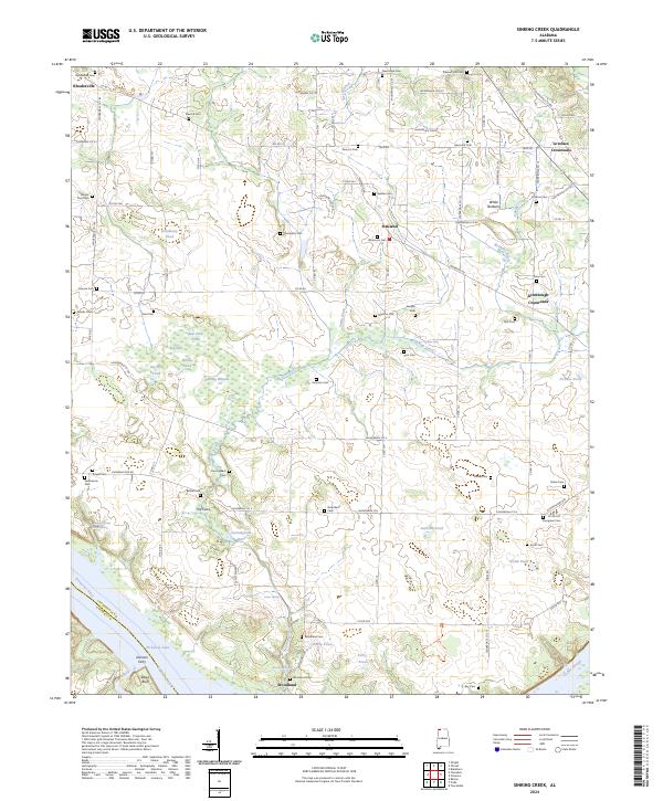
2024 Map of Sinking Creek
USGS Topo · Published 2024About this map
Pickwick Lake and the Tennessee River define the southern reaches of this landscape, where Roses Bluff overlooks the water near the historic crossing at Gorners Ferry. The interior terrain is characterized by complex hydrology, including the karst-driven features of The Sinks and numerous isolated depressions like Bell Sink and Delahunty Pond. These natural sinks and ponds often dictated the layout of local roads and farmsteads in the rural corridor between Rhodesville and Oakland.
Find a feature on this map
109 named features on this map. Tap any name to fly to it.
Don’t see what you’re looking for? This feature index may not catch every label — zoom into the map to look around manually.
Map Details
Editions of this 2024 Sinking Creek Map
This is the sole edition of this map. No revisions or reprints were ever made.
Other maps of this area

1914 · Muscle Shoals
USGS Topo · 1:48,000

1916 · Muscle Shoals
USGS Topo · 1:62,500

1924 · Tuscumbia
USGS Topo · 1:48,000

1924 · Gravelly Springs
USGS Topo · 1:48,000

1925 · Barton
USGS Topo · 1:62,500

1926 · Tuscumbia
USGS Topo · 1:62,500

1926 · Barton
USGS Topo · 1:48,000

1926 · Gravelly Springs
USGS Topo · 1:62,500

1929 · Barton
USGS Topo · 1:62,500

1935 · Cherokee
USGS Topo · 1:24,000