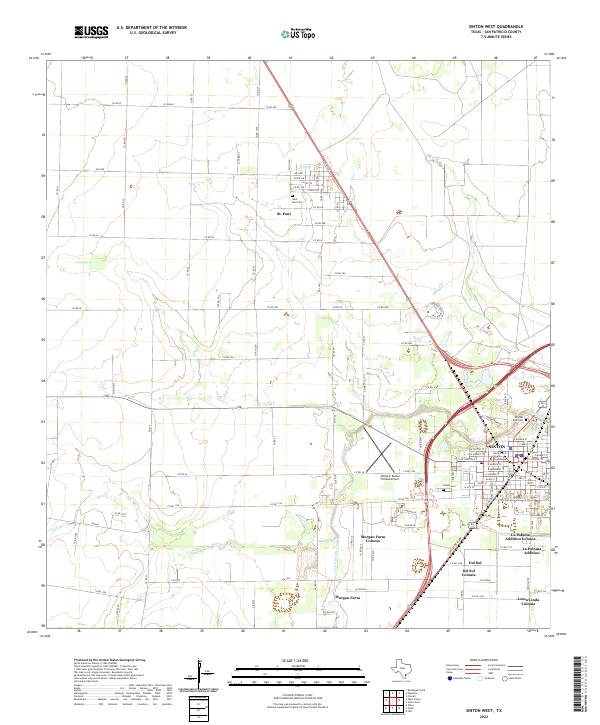
2022 Map of Sinton West
USGS Topo · Published 2022About this map
Sinton serves as the focal point of this San Patricio County landscape, anchored by the San Patricio County Courthouse and a grid of residential streets. The surrounding territory reveals a transition from traditional agricultural land to modern residential developments, including several distinct colonias like La Paloma Addition Colonia, Del Sol Colonia, and Loma Linda Colonia. These settlements cluster near the southern and eastern edges of the map, reflecting the area's contemporary growth patterns.
Find a feature on this map
95 named features on this map. Tap any name to fly to it.
Don’t see what you’re looking for? This feature index may not catch every label — zoom into the map to look around manually.
Map Details
Editions of this 2022 Sinton West Map
This is the sole edition of this map. No revisions or reprints were ever made.
Other maps of this area

1925 · Robstown
USGS Topo · 1:62,500

1925 · Corpus Christi
USGS Topo · 1:62,500

1950 · Corpus Christi
USGS Topo · 1:250,000

1951 · Corpus Christi
USGS Topo · 1:62,500

1953 · Beeville
USGS Topo · 1:250,000

1954 · Woodsboro
USGS Topo · 1:62,500

1954 · Robstown
USGS Topo · 1:62,500

1954 · Sinton
USGS Topo · 1:62,500

1956 · Corpus Christi
USGS Topo · 1:250,000

1956 · Beeville
USGS Topo · 1:250,000
Featured Places
- Sinton, TX
- O'Farrell Acres Number 2 Colonia, TX
- La Paloma Addition Colonia, TX
- Morgan Farm Area, TX
- Morgan Farm Colonia, TX