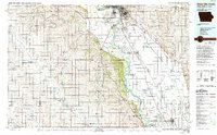
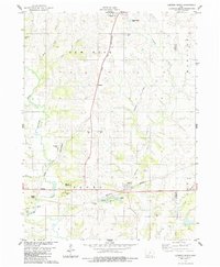
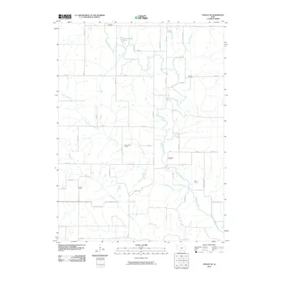
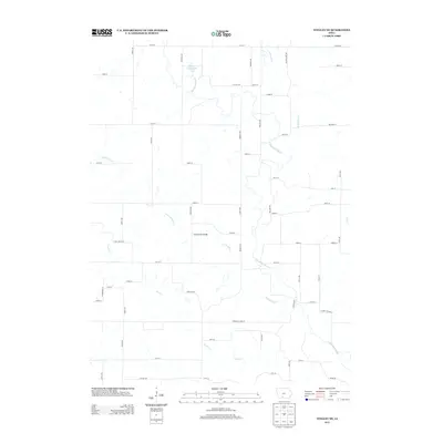
1986 Map of Sioux City South
USGS Topo · Published 1993About this map
The Missouri River carves a wide alluvial path through this 1986 survey, defining the border between Nebraska and Iowa. The landscape is dominated by the expansive Winnebago Indian Reservation and Omaha Indian Reservation to the west, where the hilly terrain meets the fertile bottomlands. These ancestral lands are anchored by settlements like Winnebago and Macy, surrounded by an intricate network of drainage including Blackbird Creek and Logan Creek.
Find a feature on this map
79 named features on this map. Tap any name to fly to it.
Don’t see what you’re looking for? This feature index may not catch every label — zoom into the map to look around manually.
Map Details
Editions of this 1986 Sioux City South Map
2 editions found

Historical Maps of Sioux City Through Time
25 maps found
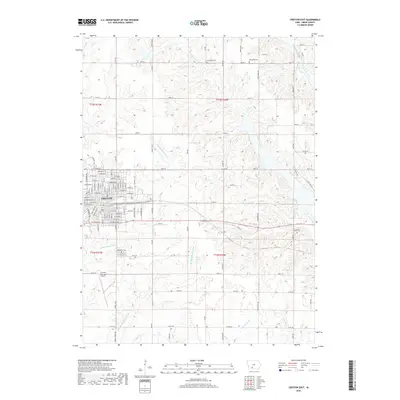
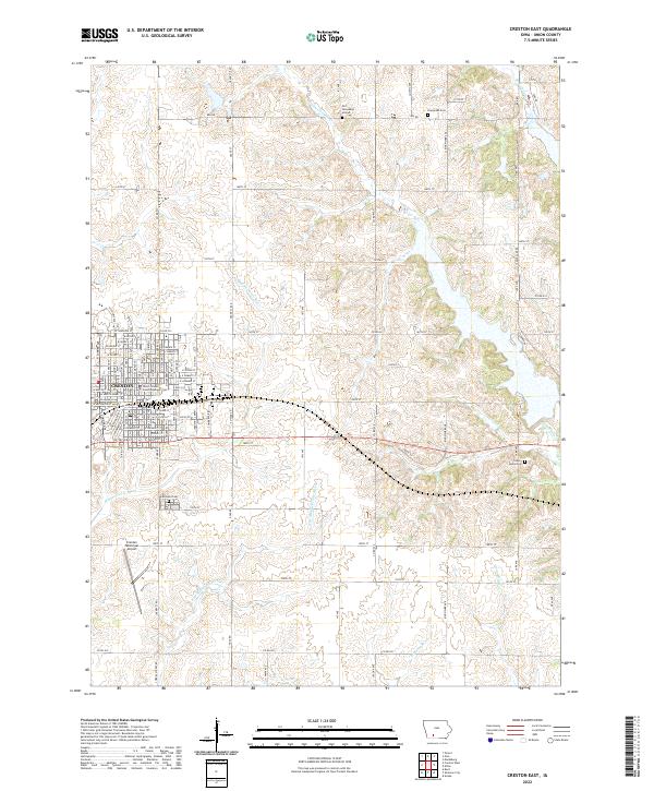
1980 Creston East
Union County, IA
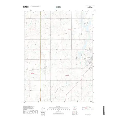
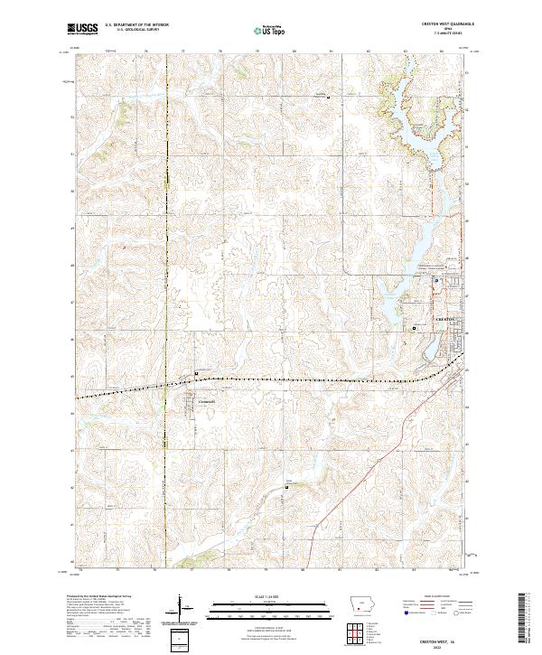
1981 Creston West
Union County, IA
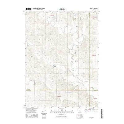
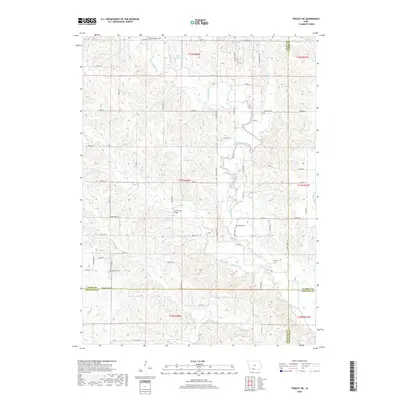
1981 Tingley NE
Union County, IA
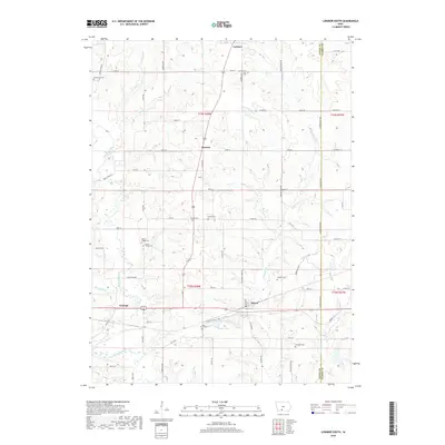
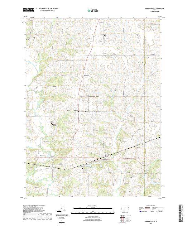
1983 Lorimor South
Union County, IA
1986 Sioux City South
Union County, IA
2010 Creston East
Union County, IA
2010 Creston West
Union County, IA
2010 Lorimor South
Union County, IA
2010 Tingley NE
Union County, IA
2013 Creston East
Union County, IA
2013 Creston West
Union County, IA
2013 Lorimor South
Union County, IA
2013 Tingley NE
Union County, IA
2015 Creston East
Union County, IA
2015 Creston West
Union County, IA
2015 Lorimor South
Union County, IA
2015 Tingley NE
Union County, IA
2018 Creston East
Union County, IA
2018 Creston West
Union County, IA
2018 Lorimor South
Union County, IA
2018 Tingley NE
Union County, IA
2022 Creston East
Union County, IA
2022 Creston West
Union County, IA
2022 Lorimor South
Union County, IA
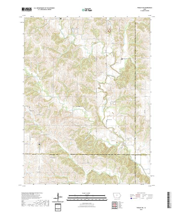
2022 Tingley NE
Union County, IA