
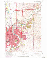
1962 Map of Sioux Falls East
USGS Topo · Published 1964About this map
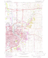
The Big Sioux River carves a winding path through this early 1960s landscape, framing the rapid eastward expansion of Sioux Falls. The map reveals a city in transition, where new infrastructure like Interstate 90 and Interstate 229 begins to overlay the older agricultural patterns of Mapleton. Central to the area's social fabric are established institutions such as Augustana College, Sioux Falls College, and the School for the Deaf, alongside significant local landmarks like the State Prison and the expansive State Prison Farm.
Find a feature on this map
82 named features on this map. Tap any name to fly to it.
Don’t see what you’re looking for? This feature index may not catch every label — zoom into the map to look around manually.
Map Details
Editions of this 1962 Sioux Falls East Map
3 editions found
Other maps of this area

1897 · Canton
USGS Topo · 1:125,000

1900 · Canton
USGS Topo · 1:125,000

1955 · Sioux Falls
USGS Topo · 1:250,000

1958 · Sioux Falls
USGS Topo · 1:250,000

1962 · Renner
USGS Topo · 1:24,000

1962 · Klondike
USGS Topo · 1:24,000

1962 · Harrisburg
USGS Topo · 1:24,000

1962 · Brandon
USGS Topo · 1:24,000

1962 · Tea
USGS Topo · 1:24,000

1962 · Garretson West
USGS Topo · 1:24,000