
1955 Map of Sioux Falls
USGS Topo · Published 1967About this map
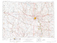
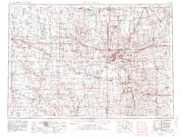
Sioux Falls serves as the focal point of this regional study, which captures the convergence of the Big Sioux River and major mid-century transportation arteries. The landscape is defined by the dense hydrological network of the James River and Vermillion River basins, interspersed with numerous lakes such as Lake Madison and Lake Herman. This era shows the region at a transitional peak of rail-driven commerce, with lines like the Chicago Milwaukee St Paul and Pacific and Chicago and North Western connecting agricultural hubs like Madison, Pipestone, and Canton. The map illustrates a grid of rural settlements and townships that formed the backbone of the eastern South Dakota and western Minnesota borderlands before the full maturation of the interstate system.
Find a feature on this map
156 named features on this map. Tap any name to fly to it.
Don’t see what you’re looking for? This feature index may not catch every label — zoom into the map to look around manually.
Map Details
Editions of this 1955 Sioux Falls Map
3 editions found
Other maps of this area

1897 · Canton
USGS Topo · 1:125,000

1898 · Olivet
USGS Topo · 1:125,000

1898 · Parker
USGS Topo · 1:125,000

1898 · Huron
USGS Topo · 1:125,000

1898 · Elk Point
USGS Topo · 1:125,000

1899 · Mitchell
USGS Topo · 1:125,000

1899 · Alexandria
USGS Topo · 1:125,000

1899 · De Smet
USGS Topo · 1:125,000

1900 · Canton
USGS Topo · 1:125,000

1901 · Elk Point
USGS Topo · 1:125,000