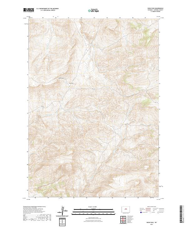
2021 Map of Sioux Pass
USGS Topo · Published 2021About this map
Sioux Pass serves as a prominent geographic landmark in this high-elevation portion of Natrona County, where the topography is defined by sharp contouring and significant relief. The area's complex drainage system is mapped in detail, showing the headwaters and paths of Lone Tree Cr, Trout Cr, and Bear Cr as they cut through the upland terrain. One of the most distinctive features is the Devils Slide, a natural formation located northwest of the pass that suggests the dramatic geological character of this Wyoming landscape.
Find a feature on this map
14 named features on this map. Tap any name to fly to it.
Don’t see what you’re looking for? This feature index may not catch every label — zoom into the map to look around manually.
Map Details
Editions of this 2021 Sioux Pass Map
This is the sole edition of this map. No revisions or reprints were ever made.
Other maps of this area

1952 · Cottonwood Pass
USGS Topo · 1:24,000

1952 · Badwater
USGS Topo · 1:24,000

1952 · Lysite SE
USGS Topo · 1:24,000

1952 · Sioux Pass
USGS Topo · 1:24,000

1952 · Badwater NE
USGS Topo · 1:24,000

1952 · Battle Mountain
USGS Topo · 1:24,000

1952 · Badwater SE
USGS Topo · 1:24,000

1955 · Arminto
USGS Topo · 1:250,000

1958 · Arminto
USGS Topo · 1:250,000

1962 · Arminto
USGS Topo · 1:250,000