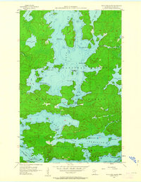
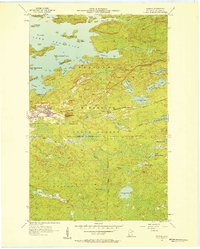
1956 Map of Sioux Pine Island
USGS Topo · Published 1963About this map
Trout Lake dominates this mid-century survey of the Boundary Waters region, showing the intricate network of islands and bays before modern development reshaped much of the Northwoods. The map detail highlights the rugged shoreline of Pine Island, where named landmarks like Norway Point and Windy Point provided essential navigation for early travelers. Historical transit patterns are visible through the Canfield Portage, a vital link between the southern water bodies and the larger lake system. Within the Superior National Forest, the topography includes numerous small features such as Five Sisters Islands and Steamboat Island, which reflect the early naming conventions used by local woodsmen and early recreational visitors to the St. Louis County wilderness.
Find a feature on this map
41 named features on this map. Tap any name to fly to it.
Don’t see what you’re looking for? This feature index may not catch every label — zoom into the map to look around manually.
Map Details
Editions of this 1956 Sioux Pine Island Map
5 editions found
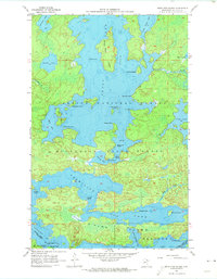
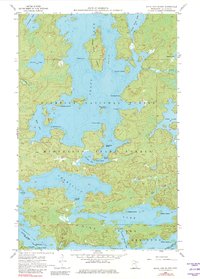
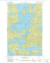
Other maps of this area

1954 · Hibbing
USGS Topo · 1:250,000

1954 · International Falls
USGS Topo · 1:250,000

1956 · Sioux Pine Island
USGS Topo · 1:24,000

1956 · Tower
USGS Topo · 1:24,000

1956 · Vermilion Dam
USGS Topo · 1:24,000

1956 · Chad Lake
USGS Topo · 1:24,000
1956 · Soudan
USGS Topo · 1:24,000

1956 · Lost Lake
USGS Topo · 1:24,000

1957 · Hibbing
USGS Topo · 1:250,000

1957 · International Falls
USGS Topo · 1:250,000
Featured Places
- Northeast St Louis, MN
- Greenwood Township, MN
- Breitung Township, MN
- Saint Louis County, MN
- United States