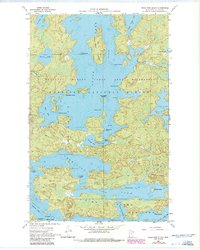
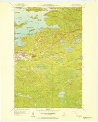
1956 Map of Sioux Pine Island
USGS Topo · Published 1986About this map
Sioux Pine Island sits at the heart of this Northwoods landscape, surrounded by the deep waters of the Boundary Waters Canoe Area Wilderness. This 1950s survey, updated with revisions in the early 1980s, details a complex network of glacial lakes and islands within the Superior National Forest. To the south, the waters of Kabetogama Lake and Vermilion Lake meet a shoreline defined by the Vermilion Lake State Forest. The map documents traditional travel routes through the dense timber, including the Canfield Portage connecting Canfield Portage Bay to the south. Notable landmarks for navigators and historians include Five Sisters Islands, Steamboat Island, and Trout Rock, which reflect the localized naming conventions of the region's early recreational and forestry era.
Find a feature on this map
46 named features on this map. Tap any name to fly to it.
Don’t see what you’re looking for? This feature index may not catch every label — zoom into the map to look around manually.
Map Details
Editions of this 1956 Sioux Pine Island Map
5 editions found
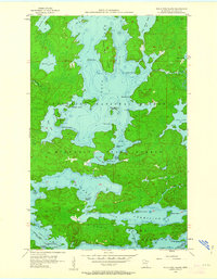
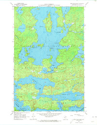
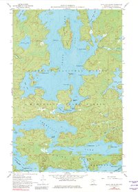
Other maps of this area

1954 · Hibbing
USGS Topo · 1:250,000

1954 · International Falls
USGS Topo · 1:250,000

1956 · Sioux Pine Island
USGS Topo · 1:24,000

1956 · Tower
USGS Topo · 1:24,000

1956 · Vermilion Dam
USGS Topo · 1:24,000

1956 · Chad Lake
USGS Topo · 1:24,000
1956 · Soudan
USGS Topo · 1:24,000

1956 · Lost Lake
USGS Topo · 1:24,000

1957 · Hibbing
USGS Topo · 1:250,000

1957 · International Falls
USGS Topo · 1:250,000
Featured Places
- Northeast St Louis, MN
- Greenwood Township, MN
- Breitung Township, MN
- Saint Louis County, MN
- United States