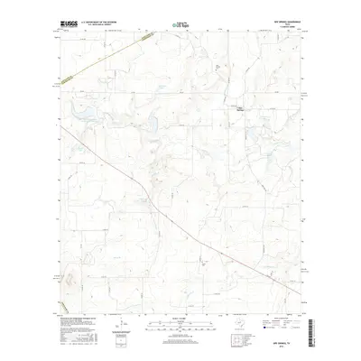
2016 Map of Sipe Springs
USGS Topo · Published 2016About this map
Sipe Springs serves as the primary settlement in this section of Comanche County, located where Sipe Springs Cr begins its southward drainage. The landscape is defined by its water management and agricultural history, featuring numerous reservoirs such as Railroad Lake, Shults Lake, and the Soil Conservation Service Site 1 Reservoir. These features, alongside N Gibson Lake and S Gibson Lake, illustrate a rural economy reliant on capturing seasonal runoff from tributaries like Copperas Cr and Nanny Br.
Find a feature on this map
45 named features on this map. Tap any name to fly to it.
Don’t see what you’re looking for? This feature index may not catch every label — zoom into the map to look around manually.
Map Details
Editions of this 2016 Sipe Springs Map
This is the sole edition of this map. No revisions or reprints were ever made.
Other maps of this area

1889 · Brownwood
USGS Topo · 1:125,000

1894 · Eastland
USGS Topo · 1:125,000

1894 · Brownwood
USGS Topo · 1:125,000

1954 · Brownwood
USGS Topo · 1:250,000

1954 · Abilene
USGS Topo · 1:250,000

1958 · Abilene
USGS Topo · 1:250,000
1966 · May
USGS Topo · 1:24,000

1966 · Star Mountain
USGS Topo · 1:24,000

1966 · Sipe Springs
USGS Topo · 1:24,000
1966 · Rising Star
USGS Topo · 1:24,000