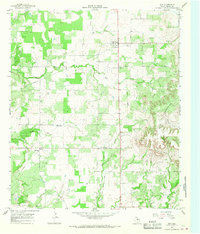
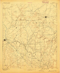
1966 Map of May
USGS Topo · Published 1968About this map
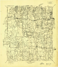
The community of May sits at the northern end of this mid-1960s survey, surrounded by the headwaters of Hog Creek and Elm Creek. To the east, the landscape rises into the labeled Mountains, while the western terrain is marked by smaller settlements like Holder and Owens. This map reveals a transition in the local economy and transport; an Old Railroad Grade runs north-south through the quadrangle, paralleled by more modern road development. Local history is anchored by rural landmarks like Union Grove Ch and the Pleasant Valley Cem. The presence of several Gas Wells and Gravel Pits alongside traditional features like the Rodeo Ground illustrates the diversification of land use in this part of Brown County during the mid-twentieth century.
Find a feature on this map
19 named features on this map. Tap any name to fly to it.
Don’t see what you’re looking for? This feature index may not catch every label — zoom into the map to look around manually.
Map Details
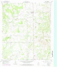
Editions of this 1966 May Map
2 editions found
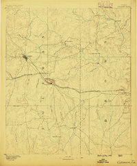
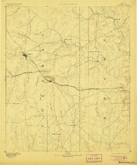
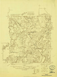
Other maps of this area
1887 · Coleman
USGS Topo · 1:125,000

1889 · Brownwood
USGS Topo · 1:125,000
1889 · Coleman
USGS Topo · 1:125,000

1894 · Eastland
USGS Topo · 1:125,000
1894 · Brownwood
USGS Topo · 1:125,000
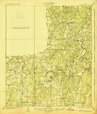
1924 · Coleman 1-a
USGS Topo · 1:48,000

1924 · Brownwood Reservoir Site
USGS Topo · 1:48,000
1927 · Grosvenor
USGS Topo · 1:62,500
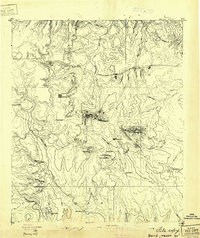
1931 · Baird
USGS Topo · 1:125,000
1932 · Baird
USGS Topo · 1:125,000