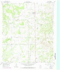
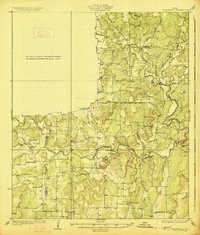
1966 Map of May
USGS Topo · Published 1978About this map
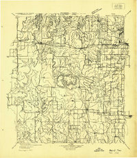
May serves as the primary hub in this northern Brown County landscape, surrounded by a patchwork of cattle ranching and early petroleum development. The town's local character is evidenced by the Rodeo Ground and nearby May Cem, while an Old Railroad Grade cutting through the center of the sheet speaks to an earlier era of steam transport through the Pecan Bayou watershed. To the west, the smaller community of Holder sits near the Union Grove Ch, marking a quiet rural center typical of mid-century Texas.
Find a feature on this map
18 named features on this map. Tap any name to fly to it.
Don’t see what you’re looking for? This feature index may not catch every label — zoom into the map to look around manually.
Map Details
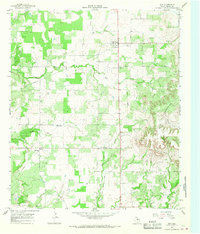
Editions of this 1966 May Map
2 editions found
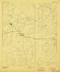
Other maps of this area
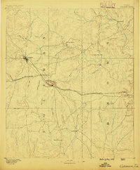
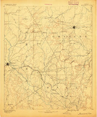
1887 · Coleman
USGS Topo · 1:125,000

1889 · Brownwood
USGS Topo · 1:125,000
1889 · Coleman
USGS Topo · 1:125,000

1894 · Eastland
USGS Topo · 1:125,000
1894 · Brownwood
USGS Topo · 1:125,000
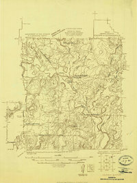
1924 · Coleman 1-a
USGS Topo · 1:48,000

1924 · Brownwood Reservoir Site
USGS Topo · 1:48,000
1927 · Grosvenor
USGS Topo · 1:62,500
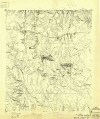
1931 · Baird
USGS Topo · 1:125,000
1932 · Baird
USGS Topo · 1:125,000