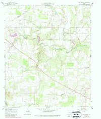
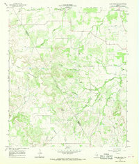
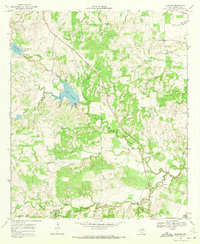
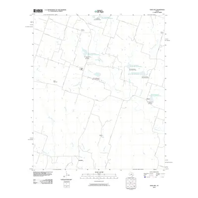
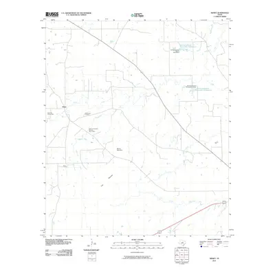
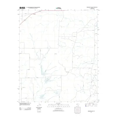
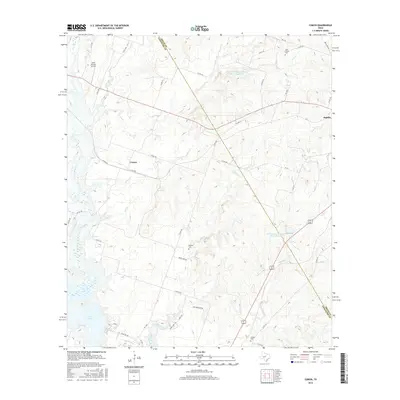
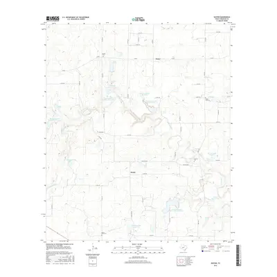
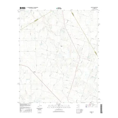
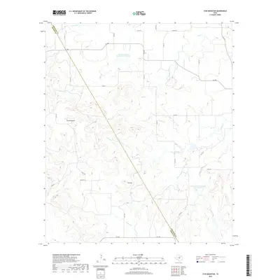
1966 Map of Sipe Springs
USGS Topo · Published 1987About this map
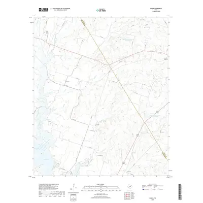
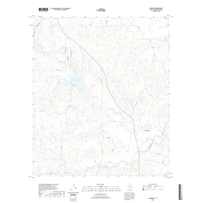
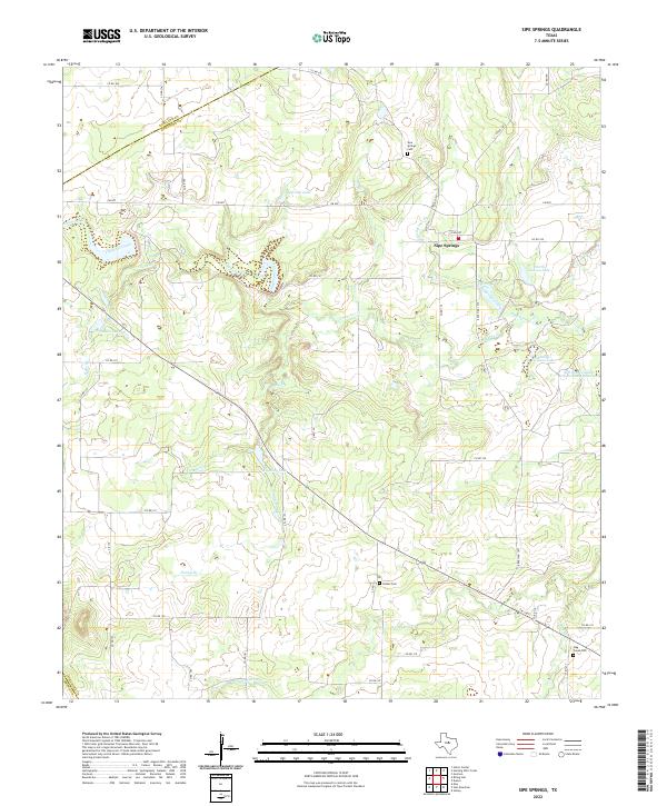
The community of Sipe Springs serves as the focal point of this Comanche County landscape, situated near the headwaters of the Sipe Springs Branch. The map records an economy transitioning between transportation and extraction, most notably marked by the Old Railroad Grade that cuts across the northern terrain. This abandoned infrastructure speaks to the earlier importance of rail connectivity in central Texas before the dominance of regional highways.
Find a feature on this map
19 named features on this map. Tap any name to fly to it.
Don’t see what you’re looking for? This feature index may not catch every label — zoom into the map to look around manually.
Map Details
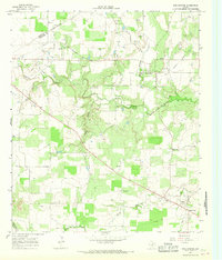
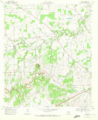
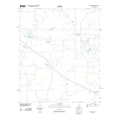
Editions of this 1966 Sipe Springs Map
2 editions found
Historical Maps of Stag Creek Through Time
54 maps found
1956 Edna Hill
Comanche County, TX
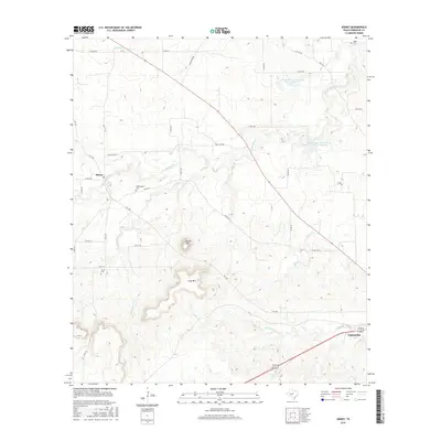
1965 Comyn
Comanche County, TX
1966 Sipe Springs
Comanche County, TX
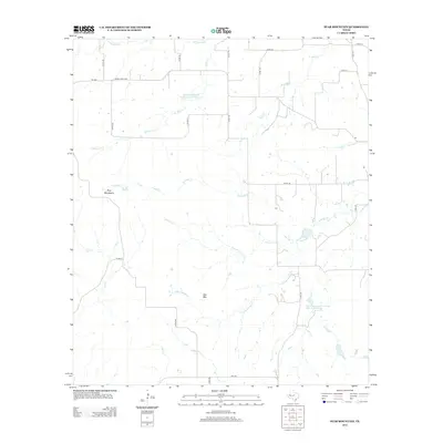
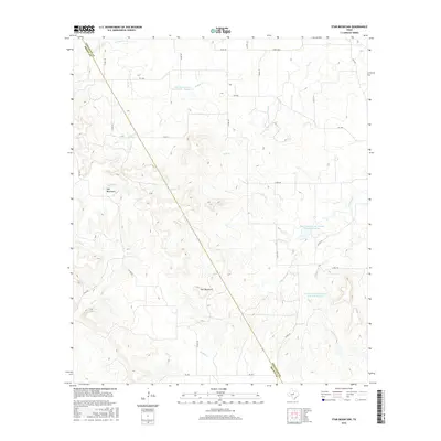
1966 Star Mountain
Comanche County, TX
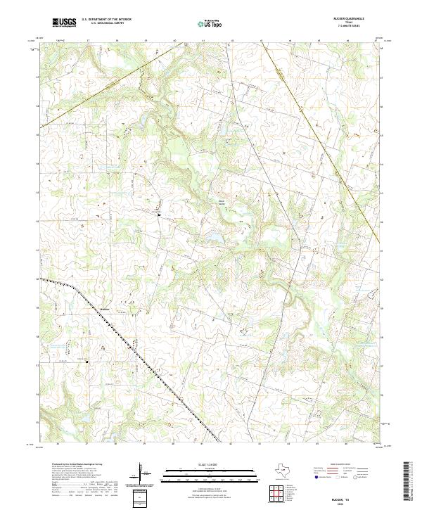
1968 Rucker
Comanche County, TX
1969 Duster
Comanche County, TX
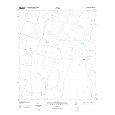
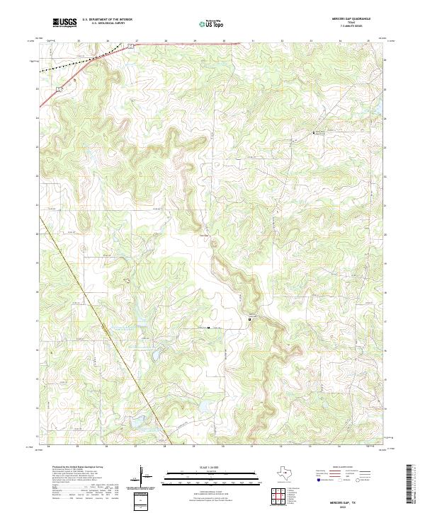
1969 Mercers Gap
Comanche County, TX
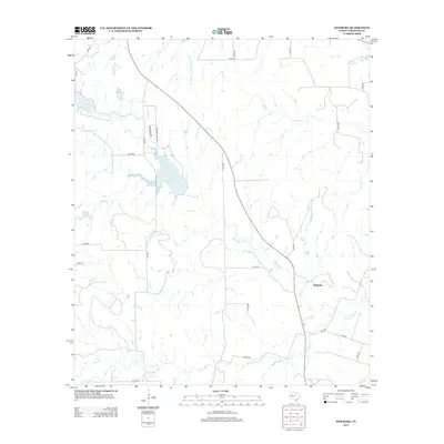
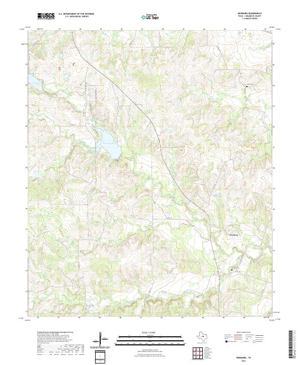
1969 Newburg
Comanche County, TX
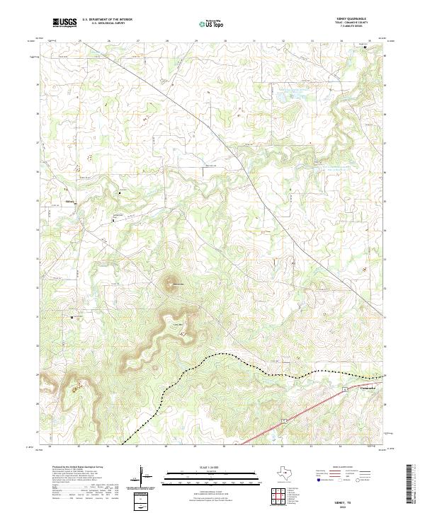
1969 Sidney
Comanche County, TX
2010 Comyn
Comanche County, TX
2010 Duster
Comanche County, TX
2010 Edna Hill
Comanche County, TX
2010 Mercers Gap
Comanche County, TX
2010 Newburg
Comanche County, TX
2010 Rucker
Comanche County, TX
2010 Sidney
Comanche County, TX
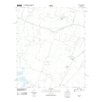
2010 Sipe Springs
Comanche County, TX

2010 Star Mountain
Comanche County, TX
2012 Comyn
Comanche County, TX
2012 Duster
Comanche County, TX
2012 Mercers Gap
Comanche County, TX
2012 Rucker
Comanche County, TX
2012 Sidney
Comanche County, TX
2012 Sipe Springs
Comanche County, TX
2012 Star Mountain
Comanche County, TX
2013 Edna Hill
Comanche County, TX
2013 Newburg
Comanche County, TX
2016 Comyn
Comanche County, TX
2016 Duster
Comanche County, TX
2016 Edna Hill
Comanche County, TX
2016 Mercers Gap
Comanche County, TX
2016 Newburg
Comanche County, TX
2016 Rucker
Comanche County, TX
2016 Sidney
Comanche County, TX
2016 Sipe Springs
Comanche County, TX
2016 Star Mountain
Comanche County, TX
2019 Comyn
Comanche County, TX
2019 Duster
Comanche County, TX
2019 Edna Hill
Comanche County, TX
2019 Mercers Gap
Comanche County, TX
2019 Newburg
Comanche County, TX
2019 Rucker
Comanche County, TX
2019 Sidney
Comanche County, TX
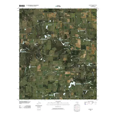
2019 Sipe Springs
Comanche County, TX
2019 Star Mountain
Comanche County, TX
2022 Comyn
Comanche County, TX
2022 Duster
Comanche County, TX
2022 Edna Hill
Comanche County, TX
2022 Mercers Gap
Comanche County, TX
2022 Newburg
Comanche County, TX
2022 Rucker
Comanche County, TX
2022 Sidney
Comanche County, TX
2022 Sipe Springs
Comanche County, TX
2022 Star Mountain
Comanche County, TX