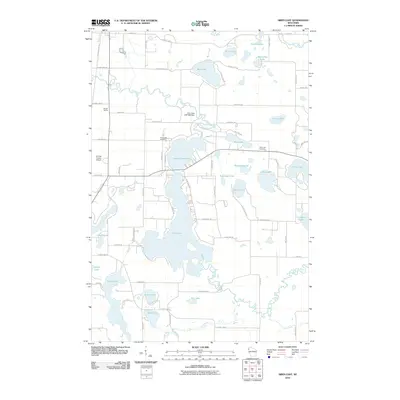
2010 Map of Siren East
USGS Topo · Published 2010About this map
The Clam River and its intricate network of lakes dominate this Burnett County landscape, defining the water-rich geography of the region. A significant hydrological feature is the Clam Lake 2WP1065 Dam, which regulates the flow between Lower Clam Lake and the expansive Clam Lake to the south. This area is characterized by dense clusters of water bodies, including Pike Lake, Tamarack Lake, and Taylor Lake, often separated only by narrow ridges and local roads.
Find a feature on this map
77 named features on this map. Tap any name to fly to it.
Don’t see what you’re looking for? This feature index may not catch every label — zoom into the map to look around manually.
Map Details
Editions of this 2010 Siren East Map
This is the sole edition of this map. No revisions or reprints were ever made.
Other maps of this area

1949 · Hertel
USGS Topo · 1:48,000

1950 · Webster
USGS Topo · 1:48,000

1951 · Cumberland
USGS Topo · 1:48,000

1951 · Frederic
USGS Topo · 1:48,000

1953 · Stillwater
USGS Topo · 1:250,000

1955 · Hertel
USGS Topo · 1:62,500

1955 · Webster
USGS Topo · 1:62,500

1955 · Frederic
USGS Topo · 1:62,500

1955 · Stillwater
USGS Topo · 1:250,000

1956 · Cumberland
USGS Topo · 1:62,500