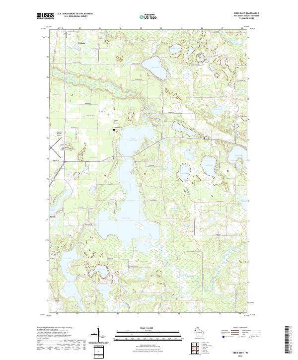
2022 Map of Siren East
USGS Topo · Published 2022About this map
Clam Lake and its northern counterpart Lower Clam Lake dominate this Wisconsin landscape, where the Clam River weaves through a complex network of wetlands and smaller basins. The area between the villages of Siren and Webster is defined by these water bodies and low-lying features like Sleighbell Slough and Mallard Slough. This hydrographic pattern reflects the glacial legacy of Burnett County, creating a fragmented terrain that dictated the placement of local roads like Lone Star Rd and Co Hwy X.
Find a feature on this map
63 named features on this map. Tap any name to fly to it.
Don’t see what you’re looking for? This feature index may not catch every label — zoom into the map to look around manually.
Map Details
Editions of this 2022 Siren East Map
This is the sole edition of this map. No revisions or reprints were ever made.
Other maps of this area

1949 · Hertel
USGS Topo · 1:48,000

1950 · Webster
USGS Topo · 1:48,000

1951 · Cumberland
USGS Topo · 1:48,000

1951 · Frederic
USGS Topo · 1:48,000

1953 · Stillwater
USGS Topo · 1:250,000

1955 · Hertel
USGS Topo · 1:62,500

1955 · Webster
USGS Topo · 1:62,500

1955 · Frederic
USGS Topo · 1:62,500

1955 · Stillwater
USGS Topo · 1:250,000

1956 · Cumberland
USGS Topo · 1:62,500