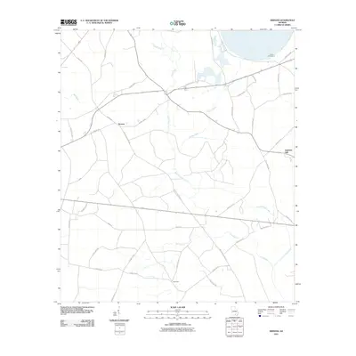
2011 Map of Sirmans
USGS Topo · Published 2011About this map
Sirmans stands as the central point of this 2011 survey, marking a quiet rural landscape in Clinch County defined by its intersecting timber roads and low-lying watercourses. The drainage of Suwannoochee Creek and Camp Creek shapes the geography here, creating a network of natural boundaries that dictated the placement of small communities like Eightmile Still and Camp Four. These named sites reflect the area's deep ties to the forest and turpentine industries that historically supported this part of Georgia.
Find a feature on this map
40 named features on this map. Tap any name to fly to it.
Don’t see what you’re looking for? This feature index may not catch every label — zoom into the map to look around manually.
Map Details
Editions of this 2011 Sirmans Map
This is the sole edition of this map. No revisions or reprints were ever made.
Other maps of this area

1953 · Waycross
USGS Topo · 1:250,000

1954 · Valdosta
USGS Topo · 1:250,000

1958 · Valdosta
USGS Topo · 1:250,000

1958 · Waycross
USGS Topo · 1:250,000

1959 · Valdosta
USGS Topo · 1:250,000

1968 · Naylor
USGS Topo · 1:24,000

1968 · Lakeland
USGS Topo · 1:24,000

1971 · Du Pont
USGS Topo · 1:24,000

1971 · Stockton
USGS Topo · 1:24,000

1972 · Sirmans
USGS Topo · 1:24,000