
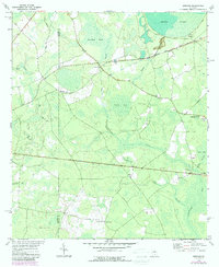
1972 Map of Sirmans
USGS Topo · Published 1977About this map
Sirmans and the surrounding pine-draped lowlands of the Georgia coastal plain are documented in this early 1970s survey. The landscape is defined by its complex hydrology, where the Arabia Swamp and wetlands like Devils Bay and Bear Bay are drained by a network of slow-moving waters including Suwannoochee Creek and Walker Creek. This period reveals a rural economy still tied to the land and timber industry, evidenced by the settlement at Eightmile Still and the Lookout Tower located at Camp Four.
Find a feature on this map
26 named features on this map. Tap any name to fly to it.
Don’t see what you’re looking for? This feature index may not catch every label — zoom into the map to look around manually.
Map Details
Editions of this 1972 Sirmans Map
2 editions found
Other maps of this area

1953 · Waycross
USGS Topo · 1:250,000

1954 · Valdosta
USGS Topo · 1:250,000

1958 · Valdosta
USGS Topo · 1:250,000

1958 · Waycross
USGS Topo · 1:250,000

1959 · Valdosta
USGS Topo · 1:250,000

1968 · Naylor
USGS Topo · 1:24,000

1968 · Lakeland
USGS Topo · 1:24,000

1971 · Du Pont
USGS Topo · 1:24,000

1971 · Stockton
USGS Topo · 1:24,000

1972 · Sandy Bottom
USGS Topo · 1:24,000