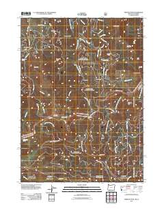
2011 Map of Siskiyou Peak
USGS Topo · Published 2011About this map
The Little Applegate River drainage dominates this high-altitude landscape within the Rogue River National Frst, illustrating the complex network of ridges and watercourses along the Oregon-California border. Notable for its many family-named topographic features and historic landmarks, the area includes the McDonald Ditch and the isolated Freezeout Cabin. Higher elevations are marked by distinctive peaks such as Wagner Butte, Siskiyou Peak, and Big Red Mountain, which are connected by a system of gaps and glades including Cinnabar Gap and Wymer Glade. This terrain is characterized by a mix of forestry roads like Siskiyou Summit Rd and specialized trails such as the Wagner Butte Trl, reflecting the region's history of recreation, timber management, and early high-country settlement. Several natural water sources, including Woodpecker Spring and Sheep Camp Spring, are documented alongside numerous creeks like Glade Creek and Long John Creek.
Find a feature on this map
52 named features on this map. Tap any name to fly to it.
Don’t see what you’re looking for? This feature index may not catch every label — zoom into the map to look around manually.
Map Details
Editions of this 2011 Siskiyou Peak Map
This is the sole edition of this map. No revisions or reprints were ever made.
Other maps of this area

1886 · Shasta
USGS Topo · 1:250,000

1891 · Ashland
USGS Topo · 1:250,000

1893 · Ashland
USGS Topo · 1:250,000

1894 · Shasta
USGS Topo · 1:250,000

1897 · Ashland
USGS Topo · 1:250,000

1932 · Yreka
USGS Topo · 1:96,000

1938 · Medford
USGS Topo · 1:125,000

1939 · Yreka
USGS Topo · 1:125,000

1948 · Weed
USGS Topo · 1:250,000

1950 · Weed
USGS Topo · 1:250,000