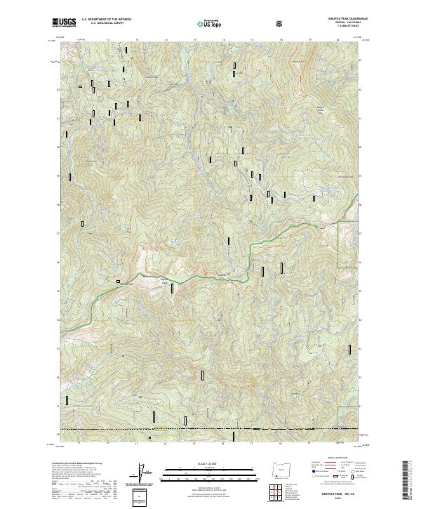
2023 Map of Siskiyou Peak
USGS Topo · Published 2023About this map
Siskiyou Divide forms a prominent ridgeline across this section of the Cascade-Siskiyou region, marking the boundary between Jackson County, Oregon, and Siskiyou County, California. The landscape is defined by significant elevations, including Wagner Butte and Siskiyou Peak, which anchor a complex network of drainages such as the Little Applegate River and the headwaters of Grouse Creek. High-altitude features like Wymer Glade and Monogram Lakes suggest the specialized ecology found along the Pacific Crest National Scenic Trail, which traverses the central peaks.
Find a feature on this map
56 named features on this map. Tap any name to fly to it.
Don’t see what you’re looking for? This feature index may not catch every label — zoom into the map to look around manually.
Map Details
Editions of this 2023 Siskiyou Peak Map
This is the sole edition of this map. No revisions or reprints were ever made.
Other maps of this area

1886 · Shasta
USGS Topo · 1:250,000

1891 · Ashland
USGS Topo · 1:250,000

1893 · Ashland
USGS Topo · 1:250,000

1894 · Shasta
USGS Topo · 1:250,000

1897 · Ashland
USGS Topo · 1:250,000

1932 · Yreka
USGS Topo · 1:96,000

1938 · Medford
USGS Topo · 1:125,000

1939 · Yreka
USGS Topo · 1:125,000

1948 · Weed
USGS Topo · 1:250,000

1950 · Weed
USGS Topo · 1:250,000