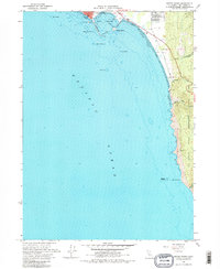
1966 Map of Sister Rocks
USGS Topo · Published 1980About this map
Crescent City sits at the northern edge of this coastal survey, where the maritime infrastructure of the Lighthouse at Battery Point and the industrial activity of Citizens Dock meet the Pacific. The coastline south of the city reveals a landscape of sea stacks and treacherous underwater hazards, including Whaler Island, Pelican Rock, and the submerged Chase Ledge. Hydrographic data compiled from 1920s surveys and 1960s charts Detail the depth curves and tidal flats that defined navigation during this era.
Find a feature on this map
27 named features on this map. Tap any name to fly to it.
Don’t see what you’re looking for? This feature index may not catch every label — zoom into the map to look around manually.
Map Details
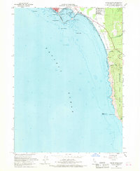
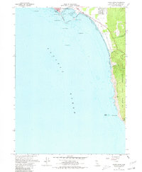
Editions of this 1966 Sister Rocks Map
3 editions found
Other maps of this area

1929 · Crescent City
USGS Topo · 1:125,000

1945 · Point St. George
USGS Topo · 1:62,500

1945 · Requa
USGS Topo · 1:62,500

1949 · Eureka
USGS Topo · 1:250,000
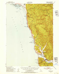
1952 · Klamath
USGS Topo · 1:62,500

1952 · Crescent City
USGS Topo · 1:62,500
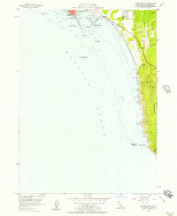
1956 · Sister Rocks
USGS Topo · 1:24,000

1956 · Crescent City
USGS Topo · 1:24,000

1958 · Eureka
USGS Topo · 1:250,000
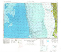
1958 · Crescent City
USGS Topo · 1:250,000