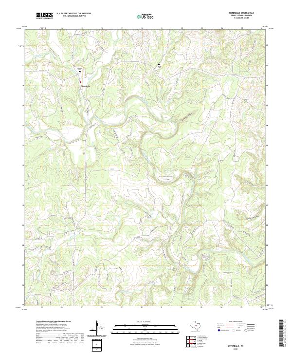
2022 Map of Sisterdale
USGS Topo · Published 2022About this map
Sisterdale serves as the focal point of this Kendall County landscape, situated where W Sister Cr and E Sister Cr converge to form Sister Cr before it meets the Guadalupe River. This region of the Texas Hill Country is defined by its deep drainages and canyon topography, most notably at Spicewood Canyon and Heiligmann Canyon. The map details a mix of traditional ranching heritage and modern aviation, as seen at the Sunny V Ranch Airport.
Find a feature on this map
73 named features on this map. Tap any name to fly to it.
Don’t see what you’re looking for? This feature index may not catch every label — zoom into the map to look around manually.
Map Details
Editions of this 2022 Sisterdale Map
This is the sole edition of this map. No revisions or reprints were ever made.
Other maps of this area

1894 · Fredericksburg
USGS Topo · 1:125,000

1954 · Llano
USGS Topo · 1:250,000

1954 · San Antonio
USGS Topo · 1:250,000

1955 · Llano
USGS Topo · 1:250,000

1956 · Comfort
USGS Topo · 1:62,500

1956 · Llano
USGS Topo · 1:250,000

1957 · Boerne
USGS Topo · 1:62,500

1957 · San Antonio
USGS Topo · 1:250,000
1963 · Crabapple Creek
USGS Topo · 1:24,000

1963 · Whitworth Ranch
USGS Topo · 1:24,000