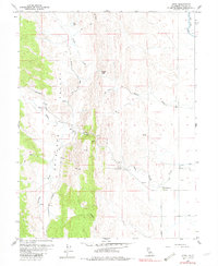
1958 Map of Sites
USGS Topo · Published 1982About this map
Antelope Valley characterizes this portion of Colusa County, where the transition from the rugged western ridges to the flat valley floor is defined by a series of intermittent drainages. The small settlement of Sites serves as a central point, situated near the confluence of local trails and the Sites-Lodoga Road. To the north, the label Golden Gate marks a distinct gap in the terrain where Funks Creek cuts through the ridges.
Find a feature on this map
37 named features on this map. Tap any name to fly to it.
Don’t see what you’re looking for? This feature index may not catch every label — zoom into the map to look around manually.
Map Details
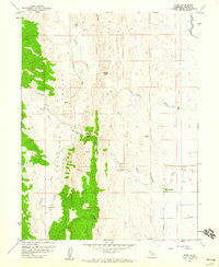
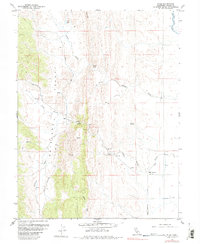
Editions of this 1958 Sites Map
3 editions found
Other maps of this area

1904 · Logan Creek
USGS Topo · 1:24,000

1904 · Sites
USGS Topo · 1:24,000

1905 · Fairview
USGS Topo · 1:24,000

1906 · Maxwell
USGS Topo · 1:62,500

1907 · Colusa
USGS Topo · 1:62,500

1917 · Logandale
USGS Topo · 1:31,680

1917 · Sites
USGS Topo · 1:31,680

1917 · Delevan
USGS Topo · 1:31,680

1918 · Williams
USGS Topo · 1:31,680

1918 · Logan Creek
USGS Topo · 1:31,680